PORTLAND, Ore. (KOIN) — On the morning of Oct. 14, 2016, an EF-2 tornado bulldozed its way through the relaxing coastal city of Manzanita, Ore. In its wake were torn rooftops, siding, downed trees. It was a jolting reminder that tornadoes do happen here.
Oregon and Washington each average just four tornadoes a year, considerably less than the rest of the country. What makes forecasting tornadoes difficult in the Pacific Northwest are the micro-parameters we must examine in addition to the big picture. These seemingly benign weather clues are mutated by the terrain and micro-climates within.
Just recently there was an EF-U tornado caught on camera in a rural area 18 miles south of Olympia, Wash. As is common for the Pacific Northwest, the instability and wind shear parameters were marginal – no major red flags. A few isolated thunderstorms crossed the region and mini rain clusters produced nothing more than an annoying minute-long downpour. On paper, the atmosphere looked only slightly unstable and largely uneventful.

To some extent, it would be easier if we could get those foreboding supercell thunderstorms with cloud tops up to 50,000 to 60,000 feet. The Storm Prediction Center would be lighting up the map with tornado watches and we’d all be on high alert. In reality, meteorologists must do a lot of detective work in the PNW to predict what level of instability is going to produce a tornado.
The Manzanita tornado started as a waterspout — birthed from what we call a low top supercell, cloud tops only achieve heights up to 20,000 – 30,000 feet. Other key weather ingredients that day included a strong 970 mb low-pressure system off the Washington coast, weak rotation (20 knots gate to gate), and a strong westerly flow brought the waterspouts onshore as tornadoes.
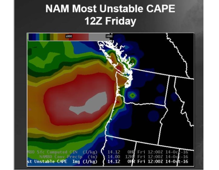
The atmosphere was primed for instability on that day. More than a dozen low top supercells formed over OR and WA coastal waters in the morning. About 1 hour after the EF-2 tornado in Manzanita, a second waterspout moved ashore as a tornado at Oceanside, OR. That was an EF-U. (U = undetermined). There was video evidence of the tornado, but no damage verified. No buildings or people in its way. While there was rotation on radar for both tornadoes, video surveillance helped seal the deal. The National Weather Service issued ten tornado warnings that day.