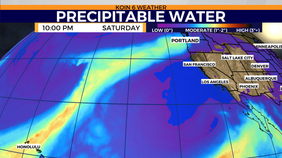
PORTLAND, Ore. (KOIN) — Your friends in the weather biz call it an “AR”: atmospheric river.
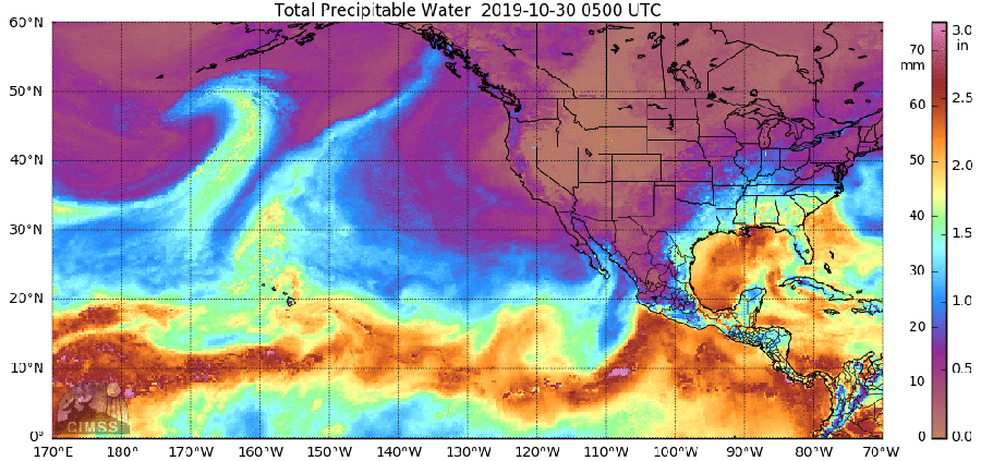
Is that located next to the Columbia River? No. This is a river in the sky that jets across the Pacific Ocean sometimes “delivering as much as 20 times the average discharge of the Mississippi River, according to Scripps Institution of Oceanography’s Dr. Martin Ralph. The difference between an AR and the mighty Mississippi is that our river aloft is made up of water vapor, a gas.
What makes an atmospheric river different from, let’s say, an individual storm that brings rain to the Pacific Northwest? A clear visual difference can be found on satellite. An “AR” looks like the world’s longest cloud, resembling a comet, and it goes for hundreds of miles. Whereas, a storm that pops in and out is short-lived and encompasses a much smaller area.
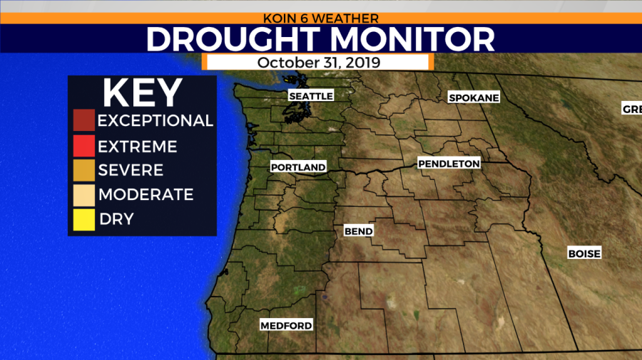
So why do we care about an “AR”? These rain events are impactful. Knowing when, where and how long they will stick around can help water resource managers, farmers, and basically any entity affected by large amounts of rain.
An atmospheric river is capable of answering prayers and obliterating property. It can quench the thirst of drought-stricken land. It can also do harm by 1) delivering too much rain in a short period or 2) show up to the party in warm, tropical attire and squash the dreams of snow lovers by dramatically rising freezing levels. Lots of snow at 7,000 feet and nothing but a slushy mess down below with potential flooding.
Researchers at Portland State University and schools throughout the western region are analyzing data to better understand atmospheric rivers. Here’s what they had to say at the 10th Annual Northwest Climate Conference in Portland.