PORTLAND, Ore. (KOIN) — Hazardous seas and high-surf warnings have been issued for Oregon Friday with 19 to 32-foot breakers forecast to slam the coast.
The National Weather Service has also raised a small craft advisory for Northwest Oregon and Southwest Washington as steep 14 to 19-foot waves and 17 to 29-mph winds are likely.
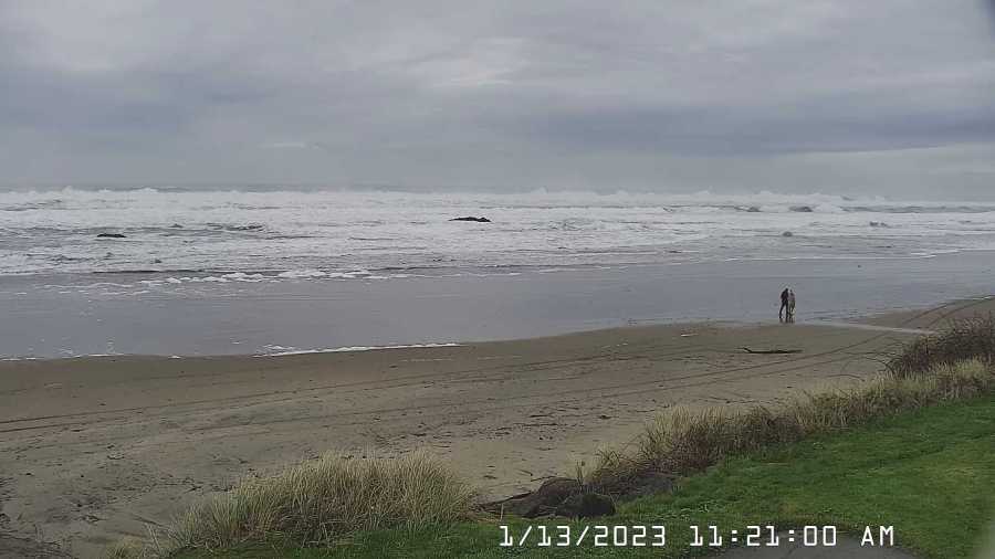
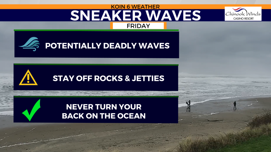
The region’s elevated threat of sneaker waves ended at 10 a.m. this morning. However, the National Weather Service warns that sneaker waves are always possible.
“While conditions have fallen below beach-hazard criteria, elevated seas with a long-period swell will persist through today,” the NWS stated. “There is always the potential for sneaker waves along the coast and it is always best to avoid logs and jetties.”
With uneasy seas persisting throughout Friday, KOIN 6 Meteorologist Josh Cozart reports that beachgoers should remain cautious of sneaker waves into Friday night.
“These potentially dangerous conditions are rogue waves that don’t follow the typical pattern observed along the coast,” Cozart said. “Sneaker waves are notorious for ‘sneaking’ up on unsuspecting ocean viewers.”
Oregon’s Central and Southern Coasts are expected to see the most severe ocean conditions with 23 to 32-foot waves possible in the area until 4 p.m. Friday’s most extreme wave conditions are expected at Cape Blanco.
Ocean conditions are forecast to settle over the weekend. High seas will return next week as king tides return.