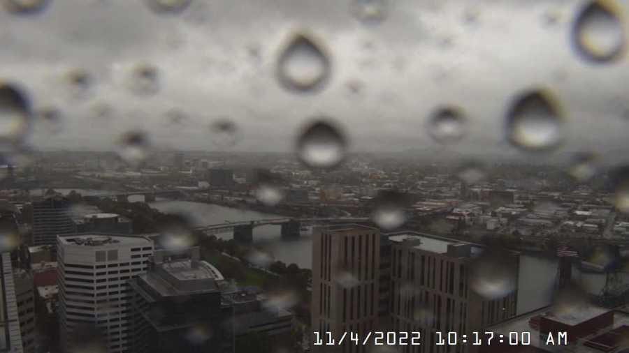
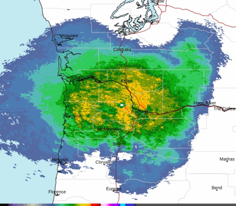
PORTLAND, Ore. (KOIN) — Urban flooding and power outages remain likely Friday as 2-3 inches of rain, and maybe more, combine with gusty winds to drum the greater-Portland area.
KOIN 6 Meteorologist Kelley Bayern reports that driving conditions will be hazardous as an atmospheric river brings near-record rainfall to the region — the worst of which is forecast for the Friday afternoon and evening hours.
Mountain areas, meanwhile, are at risk of landslides, as the Oregon Coast Range, Willapa Hills and Cascades are forecast to see 3 to 7 inches of rain on Friday.
“The heaviest rain and windiest moments will arrive after lunch through the late evening in Portland,” Bayern said.
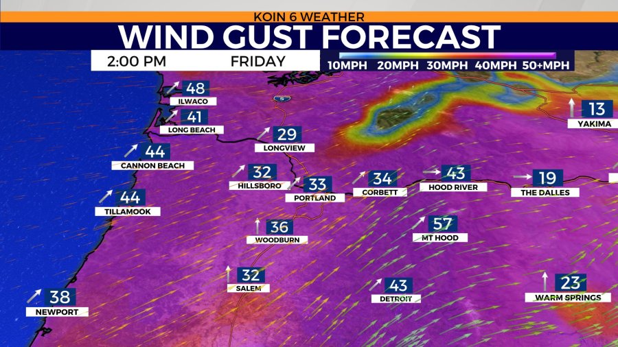
A wind advisory remains in effect for the entire Willamette Valley and greater Portland-Vancouver area until 1 a.m., Saturday. During this time, 20 to 30-mph winds and sporadic 45-mph gusts will be possible.
Daytime temperatures will stay in the upper 50s Friday. Colder weekend weather will bring significant snowfall to the Cascades by Sunday. Lower-elevation snow could also settle in the foothills on Monday, as temperatures will continue to drop around the region. Portland is forecast to see highs in the mid 40s and lows in the mid 30s by early next week.
“Snow levels plummet this weekend starting on Saturday with significant snow forecast above 3,000 feet,” Bayern said. “I see tough-to-impossible travel Saturday night through Sunday over Highway 26 and other mountain passes.”