PORTLAND, Ore. (KOIN) — The KOIN 6 Weather Team was forecasting Portland’s historic snowfall a week in advance. Significant snowfall was in sight in Portland before the storm arrived, but the end result was higher than anticipated.
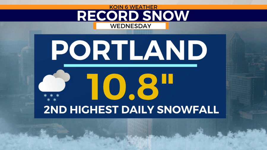
A max of four inches of snow was in the forecast by Thursday morning last week, but Mother Nature had other plans after dropping 10.8″ of snow. That is now Portland’s second single snowiest day on record.

There is a reason why these totals exceeded the forecast. It came down to the storm’s lack of movement and earlier-than-anticipated easterly winds and cold temperatures.
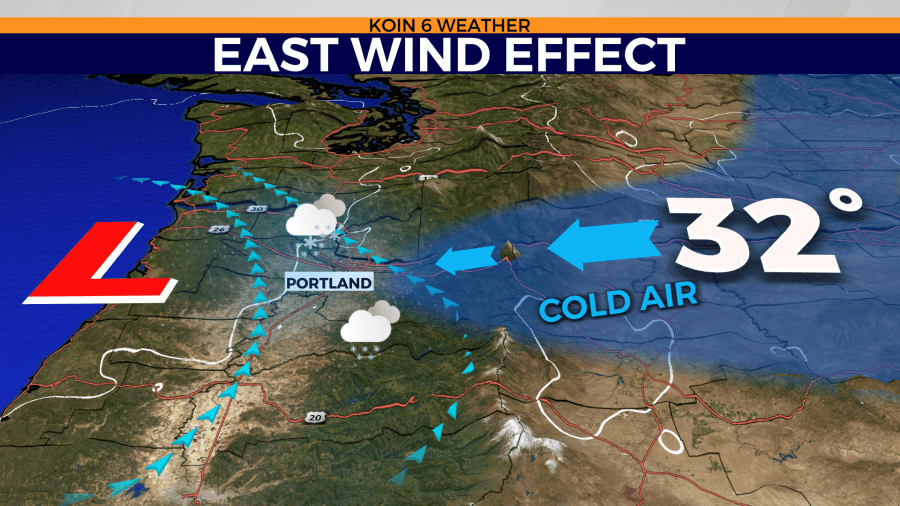
Weather models had persistently tracked the snow system from north to south along the west coast with a steady movement. East gorge winds were supposed to kick up after sunset, bringing in colder temperatures. That’s when rain showers were supposed to transition to snow.

That of course didn’t play out as planned. The east winds started to strengthen earlier in the afternoon. Temperatures had started to warm early Wednesday morning as forecasted, but by 11 a.m. the east winds began. That helped usher freezing temperatures into the Portland metro area much earlier. That part of the timeline helped dismiss the rain chance and start the snow showers much earlier in the day.

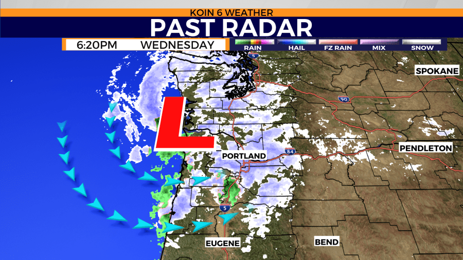
Not only did the winds play the part of bringing the snow down to the ground earlier than expected, but the entire winter system stalled along the coast of Oregon and Washington at the same time. That allowed snow to fall across the region for nearly 12 hours.
Very few weather models were able to predict that timeline and lack of storm movement. This gives residents and scientists a good reminder that weather forecasting is an imperfect science.