PORTLAND, Ore. (KOIN) — After a day of record rainfall and nearly two weeks of wet, gloomy skies, we are finally breaking free! Beware, you may encounter friendly people and smiles on Tuesday.
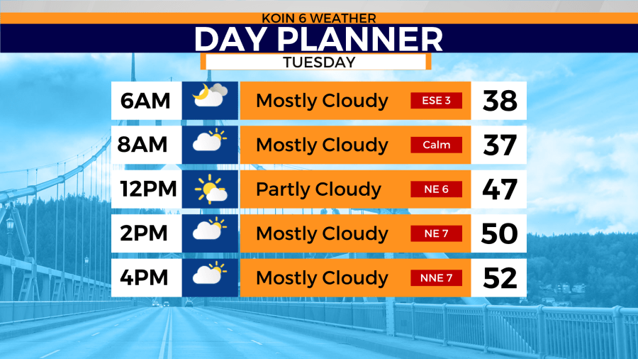
Tuesday morning starts out mostly cloudy to partly cloudy with morning temperatures in the upper 30s. Plan your lunch and dinner outdoors because this will be a partly cloudy Taco Tuesday. Daytime highs are expected to reach the low 50s. Let’s not forget the normal daytime high for mid-March is 57°. Will we ever get there?
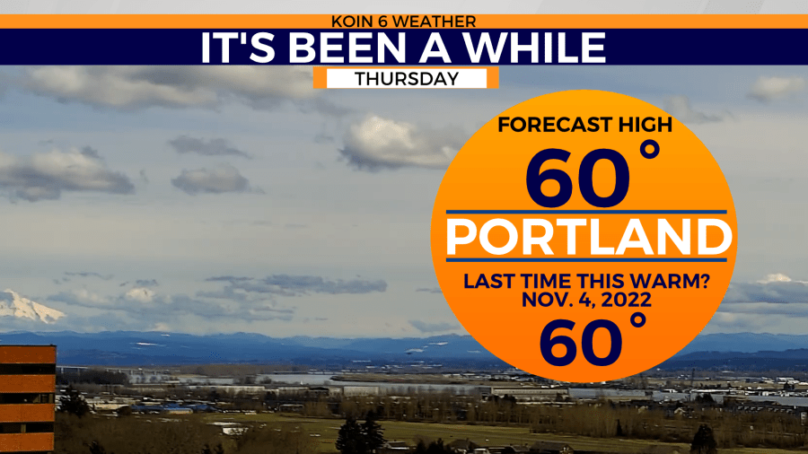
The most recent temperature in the upper 50s for Portland was on Feb. 9 at 57°. You’d have to go all the way back to Nov. 4 to find a warmer temperature, and that was 60°.
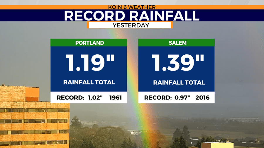
Now, back to that record rainfall from Monday. Yes, two records were broken for daily rainfall. Portland locked in 1.20″ of rain Monday which was a record for March 13. The old record dates back to 1961: 1.02″ inches. Salem beat Portland for rainfall totals Monday measuring 1.39″ inches breaking an old record from 2016: 0.97″ inches.
A Flood Watch was issued for Southwest Oregon Tuesday.
This weather alert was issued by the National Weather Service, Medford.
WHAT…Flooding caused by rain and snowmelt continues to be possible.
WHERE…A portion of southwest Oregon, including the following areas, Curry County Coast and Eastern Curry County and Josephine County, including the Illinois Valley and Brookings, Gold Beach, Agness, Cave Junction, Selma, and Takilma.
WHEN…Through Tuesday afternoon.
IMPACTS…Excessive runoff may result in flooding of rivers, creeks, streams, and other low-lying and flood-prone locations. Creeks and streams may rise out of their banks.
ADDITIONAL DETAILS…Large quantities of moisture are anticipated to move into the region through Tuesday. With snow levels above 5000 feet, there is an increased risk of areal flooding in small creeks, streams and flood-prone areas. The Weather Prediction Center has also issued a Moderate Risk for excessive rainfall for the watch area Monday into Tuesday.


