PORTLAND, Ore. (KOIN) – Now that our weather is transitioning from our summer weather pattern for the Pacific Northwest to a more active jet that we tend to see during fall and winter months, cooler air is moving in over the warmer Pacific Ocean water, increasing our weather pattern instability and raising the chance of waterspouts.

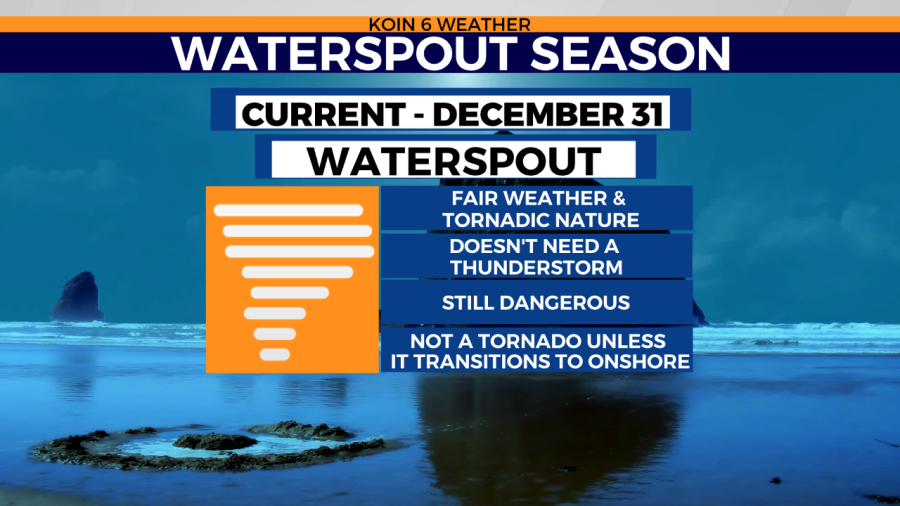
If you spend some time on the Oregon coast, you may be familiar with the view of waterspouts. A waterspout can be of two varieties, one that is more innocent in danger called fair waterspouts and the other of tornadic nature, which can be equally dangerous once it transitions onshore. A tornadic waterspout form like tornadoes, but over water. If that waterspout moves to land it will be classified as a tornado and the National Weather Service will issue a tornado warning. This was the case with the 2016 Manzanita EF-2 tornado, which started over water and then moved to land, leaving a path of damage in its wake.
Fair waterspouts usually form along developing cumulus clouds, generally not associated with a thunderstorm. These type of waterspouts develop on the surface of the water and works upward.
By the time the funnel is visible, the waterspout has reached maturity. They tend to form with light wind and they will move slowly.