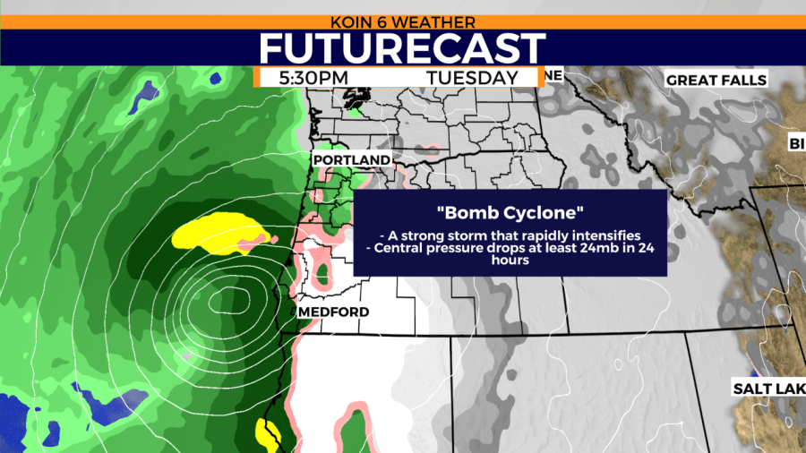
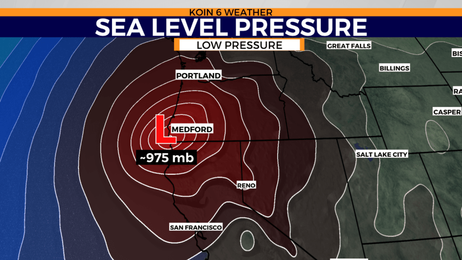
PORTLAND, Ore. (KOIN) – You’re going to be seeing the words “Bombogenesis” or “Bomb Cyclone” the next few days as the forecast calls for this storm to develop and strengthen Tuesday for much of southern Oregon, but what is it?
The terms are a fancy way to say an area of low pressure will rapidly or is rapidly intensifying over a short period of time (surface barometric pressure strengthens by 24 or more millibars over 24 hours). Another way to talk about this specific action is what we would deem explosive cyclogenesis. It is a sign of deepening, which will increase wind speed around the area of low pressure. A temperature gradient of cold air and warmer ocean water usually promotes this type of transformation.
This isn’t very common; in fact, this system is going to possibly be one of the strongest that we’ve seen in decades. According to the National Weather Service in Medford, “storms of this magnitude have not been observed on this track in the last 15 to 20 years or more.” Bombogenesis mostly occurs in transition months, where cooler air is met with slots of warm air that is still infiltrating the atmosphere.
Additionally, support from the jet stream is necessary for the transformation of the area of low pressure. It needs support and that looks to be evident with the forecast moving forward.
Heading somewhere for Thanksgiving? Check out our Your Weather podcast episode on winter weather driving for tips from ODOT:
And listen to Kelley Bayern’s outlook for the winter of 2019-20:

