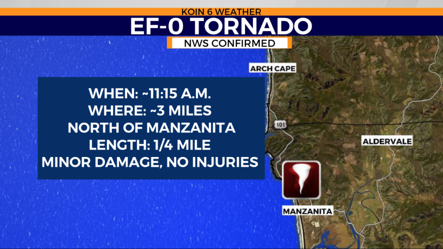
NEHALEM, Ore. (KOIN) — An EF-0 tornado raced through the Oregon coast late Tuesday morning, leaving behind a trail of damage.
The tornado reached speeds of 65 to 70 mph and briefly touched down about 3 miles north of Manzanita, the National Weather Service said. The tornado held a path about one-quarter mile long and about 100 yards wide.

One home got the brunt of the damage with blown out windows and damage to the roof and fence. No one was home at this vacation rental when 6 outer windows were blown out.
Amy Van Dyke with Sunset Vacation Rentals said she got a text about the tornado causing damage to the rental house.
“Six windows blown out, a shocker,” she said, noting there are a lot of unoccupied second homes in the area. “I was concerned we might have another Manzanita again.”
Another home’s roof was damaged, and behind the homes some trees were shorn off and blown over. There were also trees down in the path closer to the ocean and nearby fence sections were ripped off by the strong winds.
Some nearby construction workers told KOIN 6 News they saw a waterspout over the ocean move in toward land — and then they couldn’t see anything. But they felt the wind and there was suddenly a huge hail storm.
Everyone was thankful the damage wasn’t worse but officials continue to look for and assess any damage.
A cold pool of air will continue to support thunderstorm activity for the Oregon Coast Tuesday afternoon.
This is a radar image from around the time frame of the storm report. A significant cell passing through that area with some strength and what could be a brief moment of rotation. As we start to get closer to sunset and the axis of the trough shifts, the threat for thunderstorms will start to fall apart.

Not only was there damage from the cell earlier, come later in the afternoon a second cell moved through producing some large hail. The photo below sent in from KOIN viewer Justin Nelson, compares the size of the hail with a quarter.
