PORTLAND, Ore. (KOIN) – For over a week, we have been discussing the concern for dry conditions with our current weather pattern at hand. That is now translating to heightened alarm for rapid fire spread around the Willamette Valley.
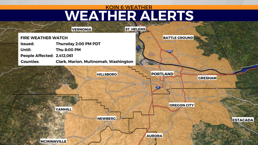
We are expecting the forecast to again turn to very dry and at times breezy for Thursday. With that forecast returning, the National Weather Service in Portland has a pending Fire Weather Watch for Thursday afternoon to Thursday evening.
This is going to be the time frame where the relative humidity may be in the lower 20s with periods of gusty wind. You can see the structure of that Fire Weather Watch in the graphic below. It extends from areas of Cottage Grove all the way up to Woodland. A fire weather watch is exactly expressing residents to be prepared. With that in mind, although you may reside outside of that zone, conditions will generally be dry and a bit breezy for all.
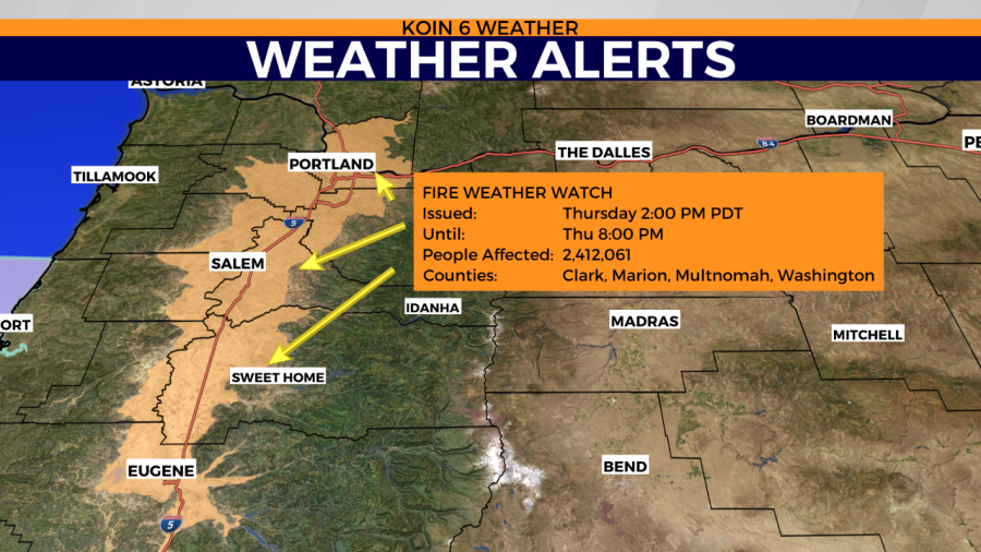
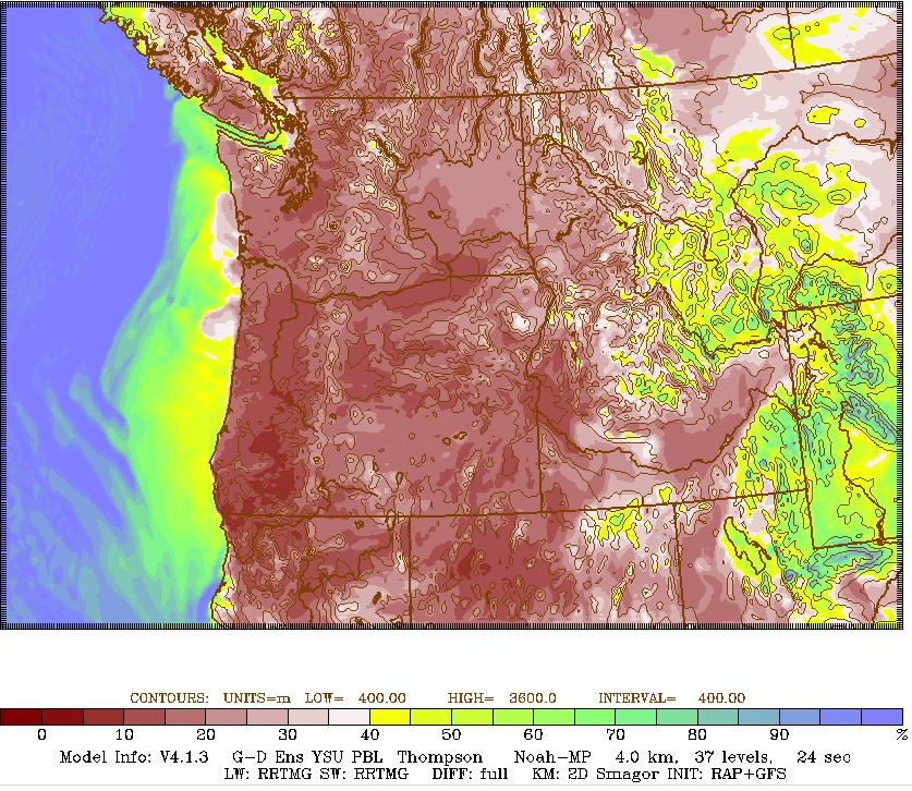
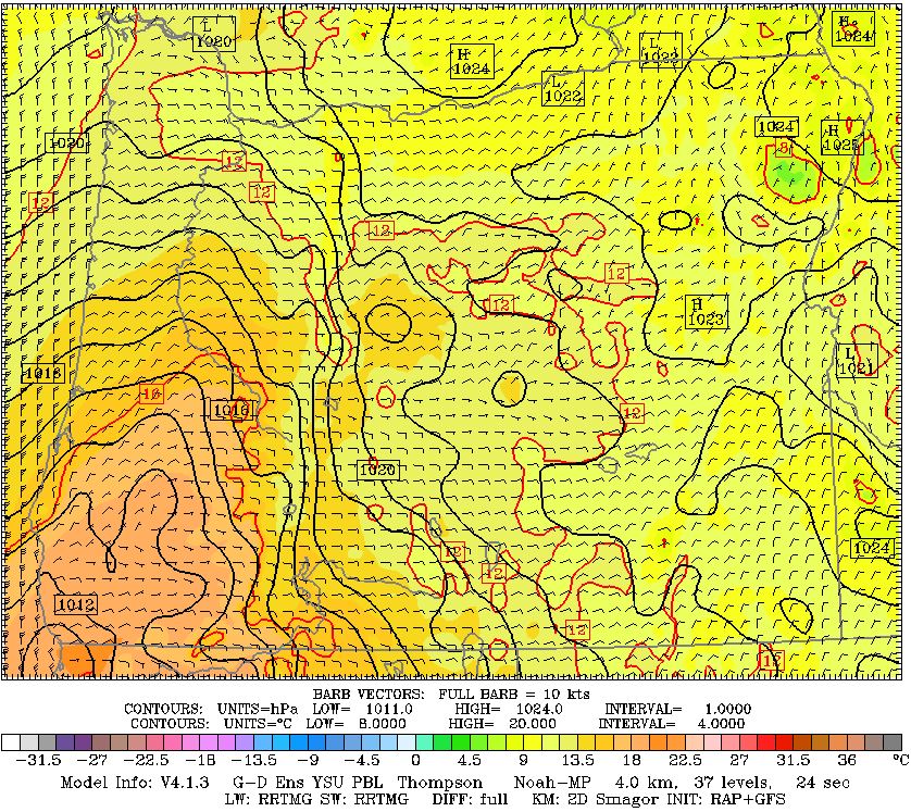
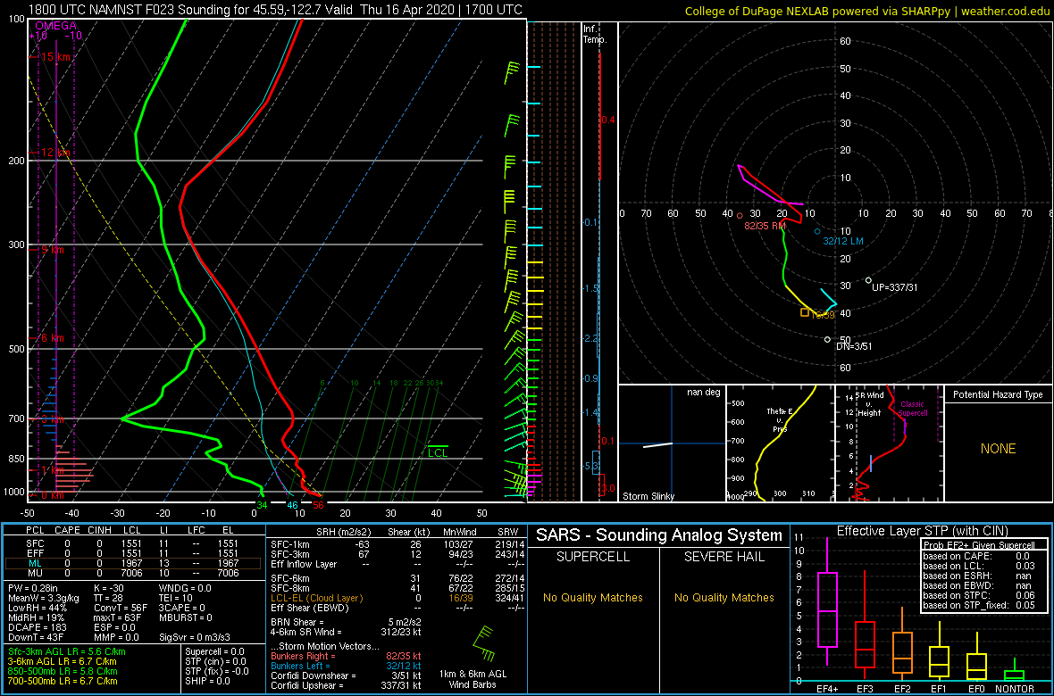
Weather models are depicting very dry conditions come tomorrow afternoon with relative humidity sitting at concerned levels. The lower the relative humidity is the more willing conditions are to start a fire and burn. Expecting a sustained wind out of the east running at 10-15 mph with gusts pushing the mid 20s. This can spell trouble for fire spread if one is to ignite.
This is not a dry lightning scenario. We are not expecting anything like that right now. This is a combination of weather and fuel moisture conditions which could cause fire issues.