
PORTLAND, Ore. (KOIN) — Stormy fall weather has brought fresh snow to local mountains, foothills and valleys.
Areas of Mt. Hood received between 6 and 12 inches of fresh snow since Sunday, National Weather Service data shows. Mountain foothills along the Cascades also saw 1 to 4 inches of powder.
In the southern end of the Willamette Valley, low-lying areas between Corvallis and Eugene also saw between 1 and 2 inches of fresh powder. However, no snowfall was recorded on the north side of the valley in the Portland or Salem areas.
KOIN 6 Meteorologist Kelley Bayern said that local snow levels are forecast to hover around 1,500 feet today, with a brief possibility for slushy snow to fall around 500 feet of elevation. Showers are expected in the Portland area today with temperatures in the mid-40s. Tonight expect a low of 35 degrees. The weather is forecast to be cold and sunny for the rest of the week.
“Most folks will just see rain with no impact to roads,” Bayern said. “We should watch spots like Sylvan-Highlands and in the foothills around the valley.”
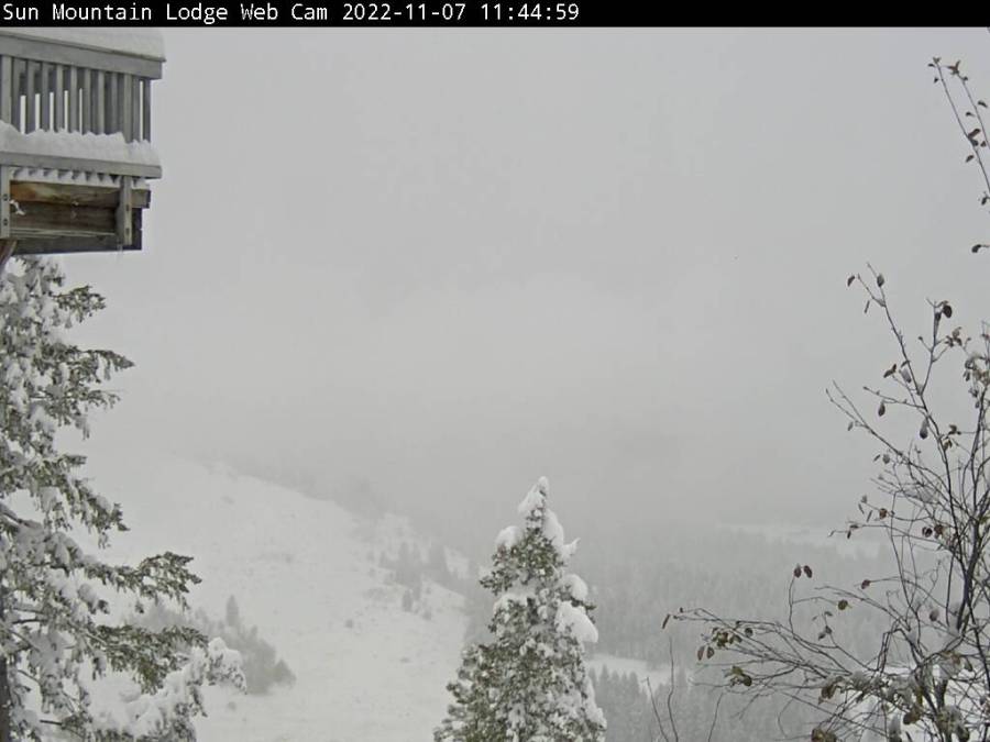
The heaviest snowfall recorded in the U.S. within the past 24 hours occurred in the North Cascades, where as much as 36 inches of snow fell in the Okanogan-Wenatchee National Forest near Lake Chelan, Wash.