PORTLAND, Ore. (KOIN) — Wet weather continues to find its way into the Pacific Northwest this weekend.
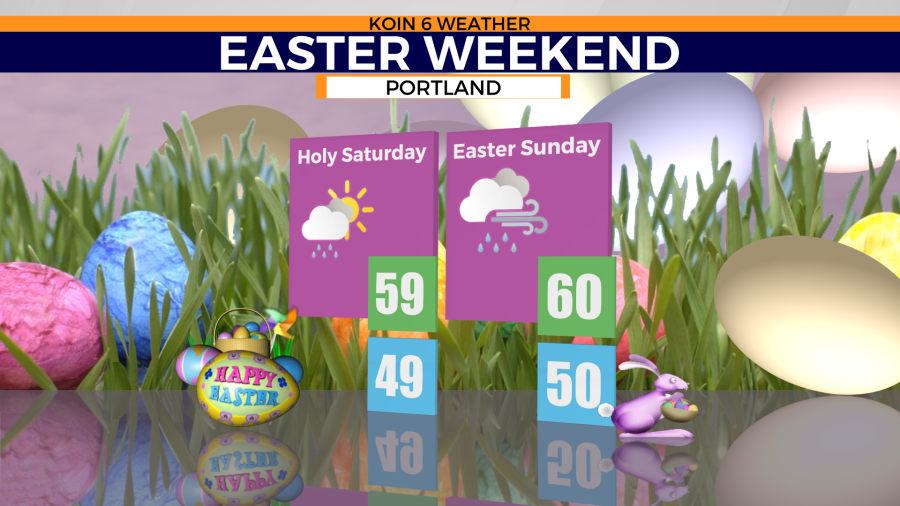
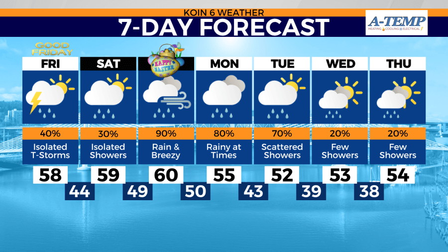
Saturday will bring a few dry breaks earlier in the day as highs warm into the upper 50s. A weak front will usher in more wet weather later in the day Saturday.

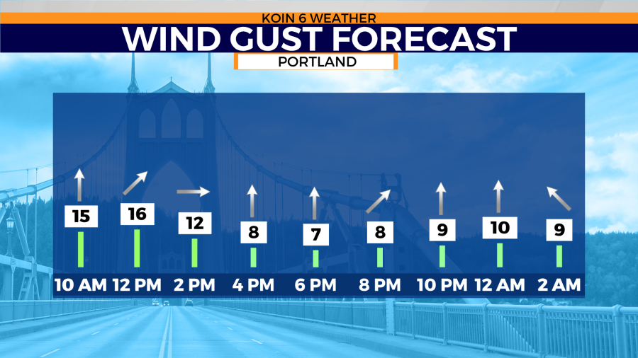
A stronger front starts to develop over the Pacific Ocean Saturday. The impacts will be felt in the Portland metro area on Easter Sunday. The front will draw in warmer temperatures Sunday as rain and wind return to the region. Gusts could near 20-25 mph around the Portland metro area Sunday.

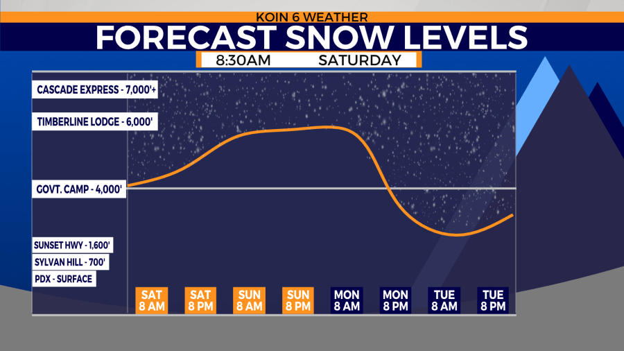
Warmer weekend temperatures will keep snow elevations above 4,000 ft.

Rain over snowy locations will help melt some snow accumulation below 4,000 ft. That will help increase rive levels through the weekend and into next week.

Cooler temperatures slowly start to work their way back to the Pacific Northwest by the start of next week. That does come with slightly drier conditions by the time Portland moves into the middle of the week.
