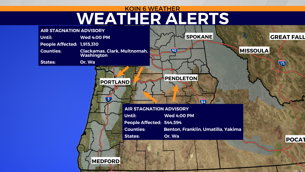
PORTLAND, Ore. (KOIN) – There is a close connection to our dry and sunny weather and the Air Stagnation Advisory, fog, and temperature inversion in place.
If you’ve noticed that it’s been a bit hazy and your sinuses are a bit irritated after outside working in the yard, it’s because of this persistent high pressure that has been in place since the weekend.
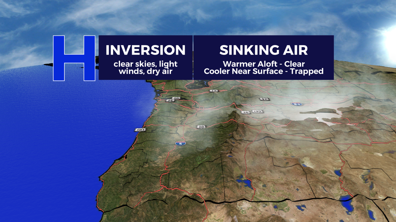
High pressure generally promotes sinking air, which warms in the mid-level allowing for temperatures to actually increase as you go higher in the atmosphere. As you know, Oregon and Washington are full of valleys, mountains, basins, dingles and pathways that aren’t exactly flat. During the fall months, with clear nights and light winds, we experience the valley floor cooling down while elevations higher will take a bit longer to cool down. By the time the sun rises, those temperatures near the surface can be much cooler.
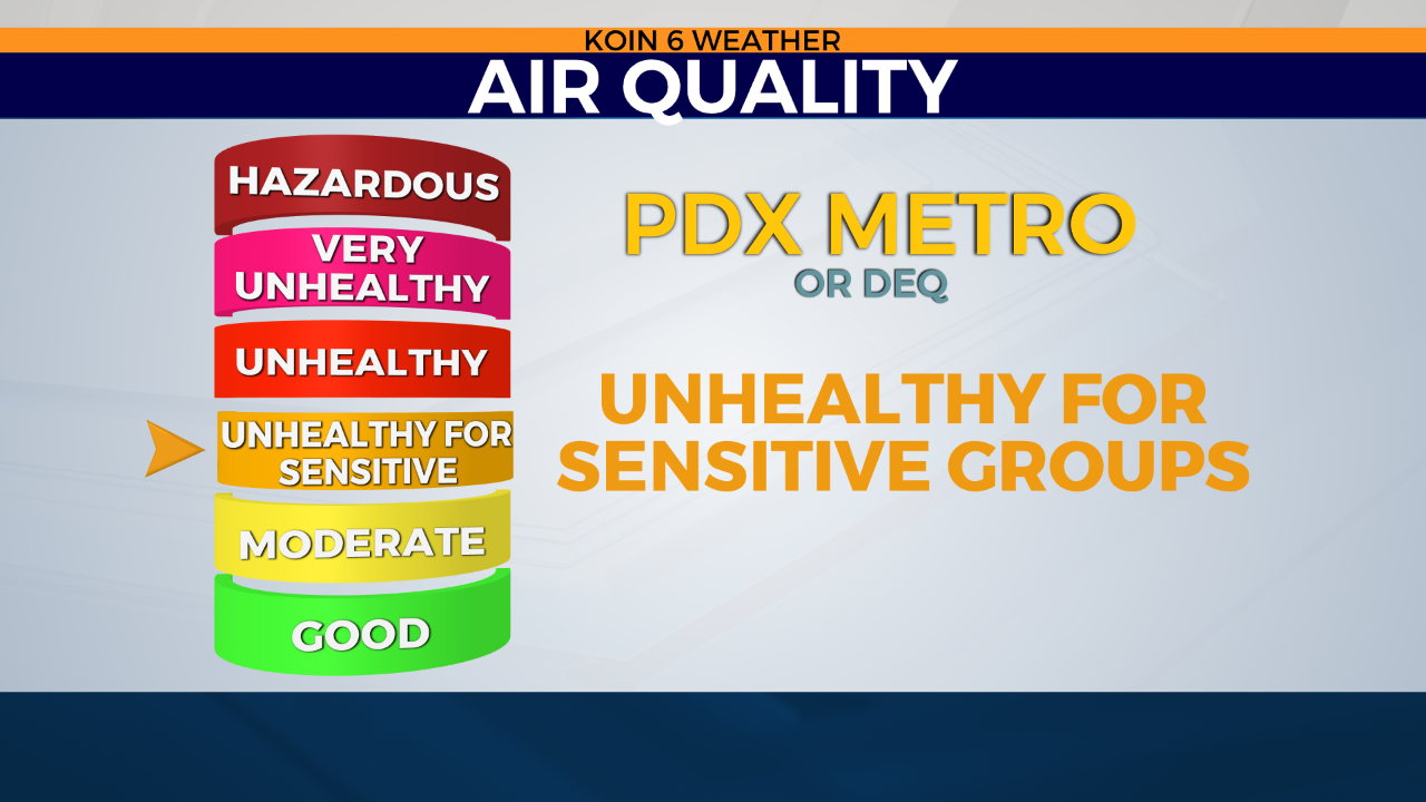
This process, which can be called a subsidence inversion, can essentially act as a cap to our atmosphere. Now we have particulates that are getting trapped near the surface and may not escape the atmosphere. This process creates a very stale environment, where the wind is calm and there is very little circulation. A result of this is a decline in air quality and the concern for Air Stagnation Advisories from the National Weather Service.
How long will this last? When will this change? The forecast is looking quite slow to swing.
With moisture seeping into the valley with that onshore flow, it’s likely we will see morning fog each morning until Thursday or Friday. A weak disturbance may help mix conditions out late week to help with the Air Stagnation Advisories that are currently in place too.
In the meantime, if you’re going to be raking leaves, you may need to take a few extra breaks or wear a mask!


