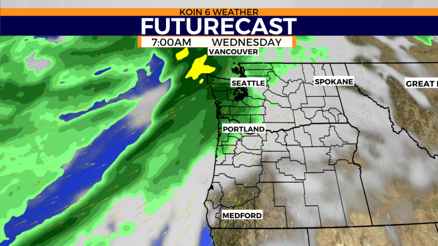
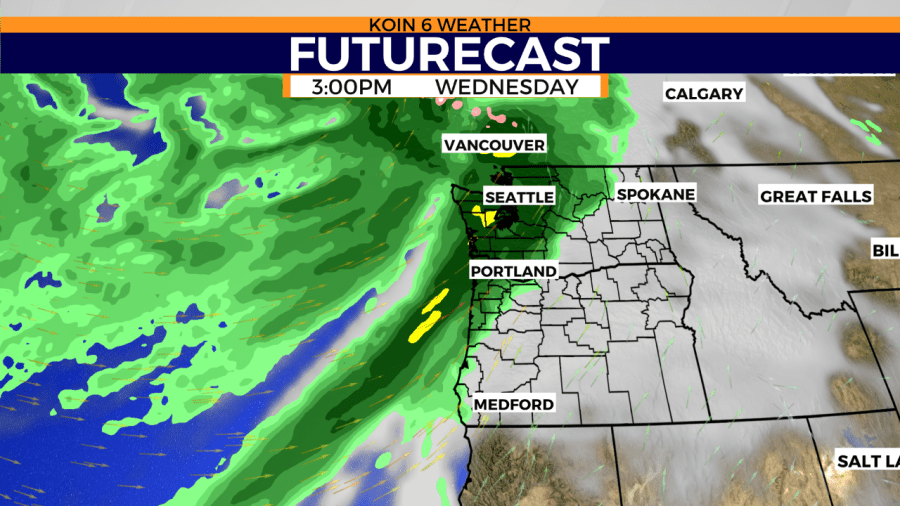
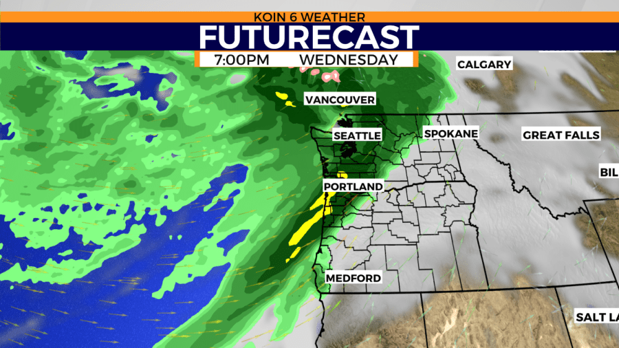
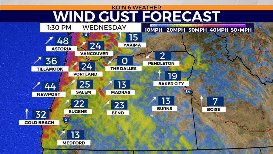
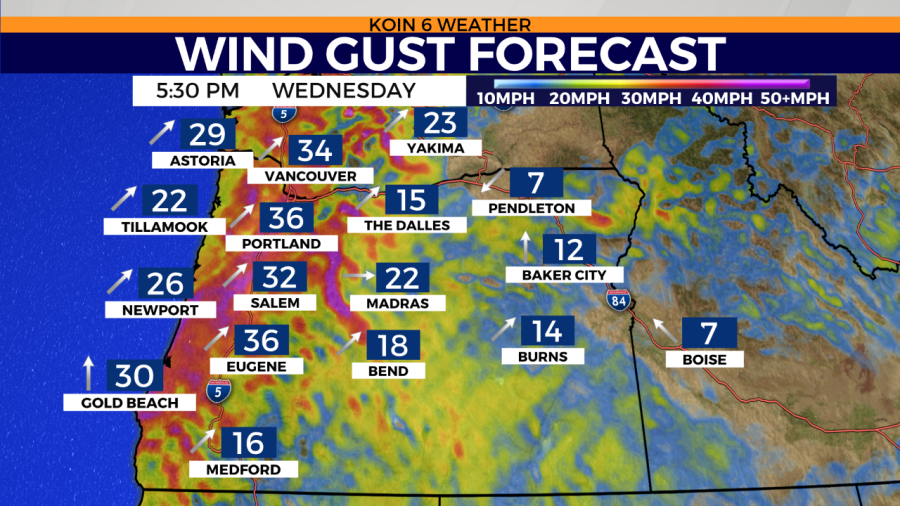
PORTLAND, Ore. (KOIN) — Soaking rain, gusty winds and the potential for flash flooding over recently burned areas begins Wednesday.
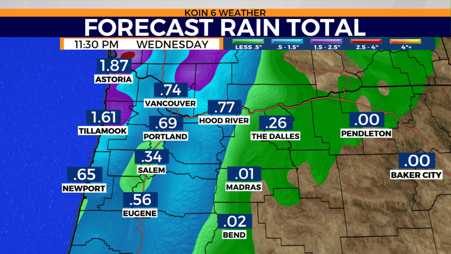
A cold front arrives overnight at the Oregon Coast, then spreads rain and gusty southwesterly winds across the region. The valley may receive a half-inch to 1 inch of rain from the time period of Wednesday to Thursday. The coast may accumulate 1 to 2 or more inches of rain during the same period.
Thursday will present an additional challenge as thunderstorms are anticipated for the north end of the Willamette Valley. Heavy downpours could be an additional risk for slides in recently burned areas. As if that wasn’t enough to pack into a short period of time, we are also looking for much colder air to move in.
That’s right, we’re introducing the word snow back into the forecast. Freezing levels may be as low as our mountain peaks in the Cascades. Some of our popular places may come out of this storm with a fresh coat of snow. Don’t worry, snow is not expected on any of our roadways. This is for the tip tops.
This storm event will be significant for a few reasons.
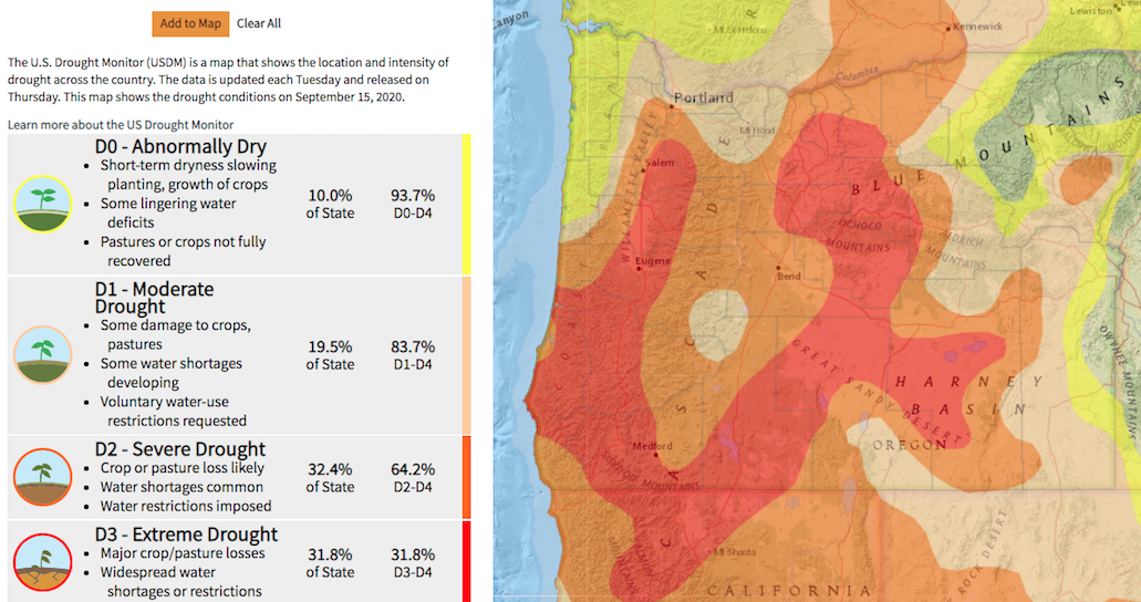
No. 1: To say we’re dry is an understatement. We’re dealing with a major rainfall deficit for the season. Compared to a 30 year average for the time period starting from Oct. 1 through the end of September, PDX is missing about 9 inches of rain. That’s like San Diego in Southern California missing all of its rain for an entire year. Nearly 94% of the state of Oregon is dealing with a variety of drought levels from abnormally dry to extreme drought. Portland alone is under a severe drought status.
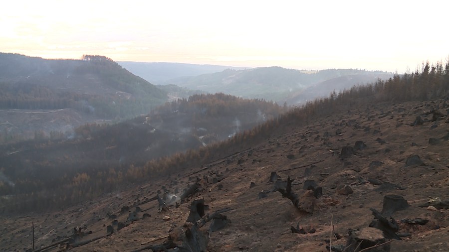
No. 2: Recently burned areas will be most at risk for debris flows, i.e. the soil moves more easily when the usual shrubs and trees are missing. Essentially there’s less vegetation to anchor down the soil in the zone of recent burn scars.
Watch this satellite view of the storm swirling over the Pacific.
