PORTLAND, Ore. (KOIN) — Isn’t it a bit of a shame that when the leaves start showing color we also tend to be dealing with fog that blocks the beautiful views?
It is THAT time of the year again.
Portland and the Willamette Valley are now entering what is typically the foggiest point of the season. Our mornings start overcast and grey (talk about dull.) The afternoon then works overtime to help break the clouds apart. You may have already noticed a few overcast and foggy moments this month.

Despite the summer-like weather, early this October, we have crammed a few mornings with clouds. Many neighborhoods are seeing low visibility when you have to get the kids to the bus. You may be dealing with mist too, as that temperature outside drops to the dewpoint.
You can see in the video loop to the side that the low clouds and valley fog was in place Wednesday morning. It takes either a wind to stir in some drier air, or we need to warm the valley up with persistent sun. As the temperature increases, the clouds will dissipate.
Going back the last 30 years, October is considered our foggiest month. We usually have at least six days where the fog is a noticeable issue. It is by far more of an issue in October than just the month prior in September.
The transition to cooler nights and the moisture from the onshore flow helps set us up for these drab moments. Fog is also one of the larger cues that we are now further along into the fall season than being closer to the tail-end of summer.

Fog definitely is a seasonal impact. Low visibility can create a difficult driving environment. You can expect visibility maps and fog updates in the morning before you leave for your work day.
A Dense Fog Advisory is issued when widespread fog is expected to reduce visibilities to 1/4 mile or less over a large area for an extended period of time (2 or more hours.) These types of conditions can slow down the morning routine and the commute to work.
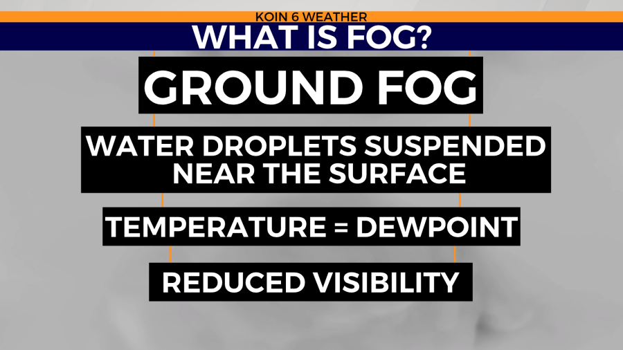
What exactly is fog? It’s essentially a cloud, with water droplets that are suspended right near the surface. As I hinted above, this forms under calm conditions as the temperature drops down to the dewpoint. The fog that is typical around here is radiation fog. It is common in areas like valleys that are sheltered from the wind.

What is also common this time of the year is what we refer to as a temperature inversion. High pressure promotes sinking air. That air aloft is warm, which then traps cold dense air in the valleys. That means we are colder at the surface and warmer above our heads. That is what makes this a temperature inversion. Usually, it’s warmer at the surface and colder above our heads.

You can expect plenty of fog until March!