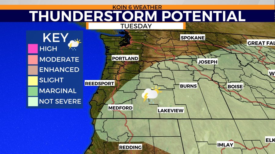
PORTLAND, Ore. (KOIN) — We’ve been tracking moisture coming our direction for the last few days and it has amounted to measurable rain for areas of Oregon. Unfortunately, it’s the summer variety, that is very scattered and doesn’t bring widespread rain for the whole state.
You may be wondering where the moisture is coming from, if it isn’t coming from the west like we traditionally see systems arrive. The moisture fueling the showers right now, is finding a way north from the monsoon season to the south.
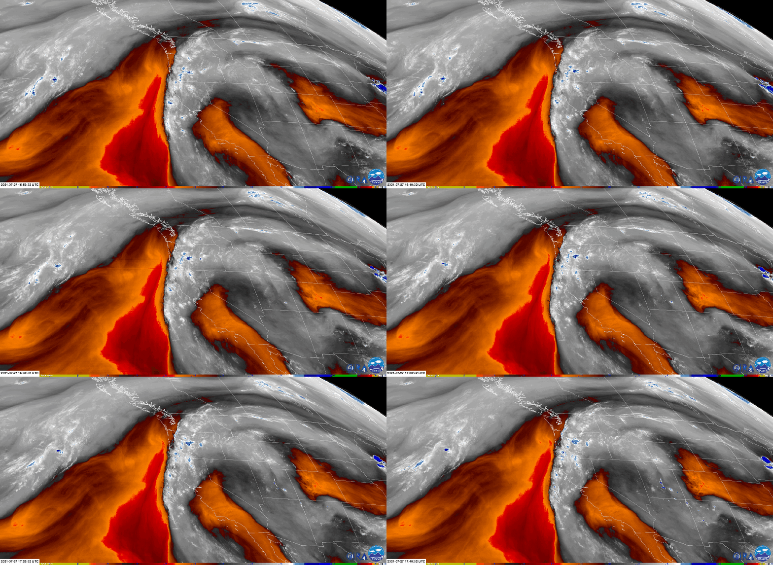
Monsoon season is essentially a way to describe the wind pattern during the summer season for the southwest. It’s the time of the year where the wind stirs in moisture from the Gulf of Mexico and the Pacific ocean down near the Baja Peninsula. High pressure generally sets up around the four corner region, allowing for the clockwise flow of the wind direction. This pulls in the moisture and cycles it around the southwest. This is when intense thunderstorms develop and the desert southwest picks up a majority of their summer rain. You can get an idea of that occurring right now in the graphic below! You can see the general motion and direction as that moisture, and also dry air (orange and red), cycles from the southeast up to the northwest. If you also focus your attention to the loop above, you will notice the explosions of blue in the state of Oregon. That is the development of mini thunderstorms and showers here. Those will be the spots that actually see some rain reach the surface.
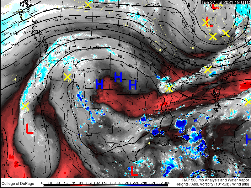
Below is also a wide view so you can have another visual of the monsoon setup to the south. Notice the high pressure that is mostly holding firm around Colorado, the wind is cycling all around it and all that moisture from the low-level jet around the Gulf of Mexico is getting transported through Texas or Mexico and it is then moving to the southwest. More of a southerly flow around California and Oregon, which pulls up that moisture from the south.
If we look south from our Portland camera, you can really see all the clouds that have found a way into the forecast today. That moisture is going to just leave it at that for us. I don’t expect rain here, although we will have to watch to see if a shower that develops over the Cascades can some slide far enough west to impact part of the valley. Right now it looks unlikely, with the general area from the Cascades east. The clouds and wildfire smoke are holding for The Dalles today, which means the temperatures will be slightly cooler today due to less solar radiation. Temperatures will be cranking later in the week into the triple-digits, so this will be your coolest day over there in the eastern Gorge.
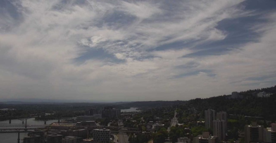
South Portland 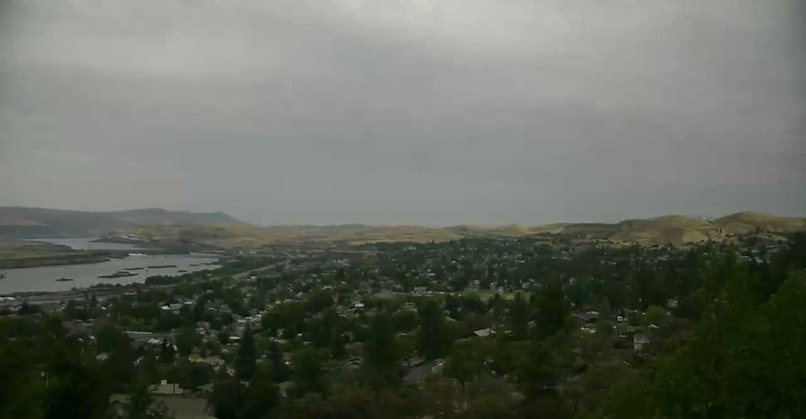
The Dalles Sky
As of Tuesday at midday, you can see some of the areas that tapped into the moisture over the last 24 hours. The heaviest of the showers happened to fall around the central Cascades here in Oregon. A few locations picking up over one tenth of an inch. It’s not saying much, but it is definitely enough to get the canopy wet and the ground a little wet. Some of these cells that are bringing in the heavier rain, are also producing lightning. Again, it is a fragile balance this time of the year with these dry conditions. We want the moisture, but we do not want the lightning. The fuels are just too dry and any cloud to ground lightning strike is going to have a high probability of starting a new fire.
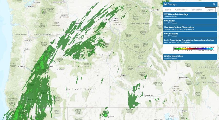
Although the graphic above doesn’t have much rain moving through portions of the Harney Basin, it is possible to see some light rain moving through that region today. Check out this information graphic from the National Weather Service in Medford today. It’s possible that there will be some rainfall over the Bootleg Fire again, with weather models even pushing one tenth of an inch or so. Right now, the rain has stayed mainly over the Cascades, but we are looking at that path to lean east.
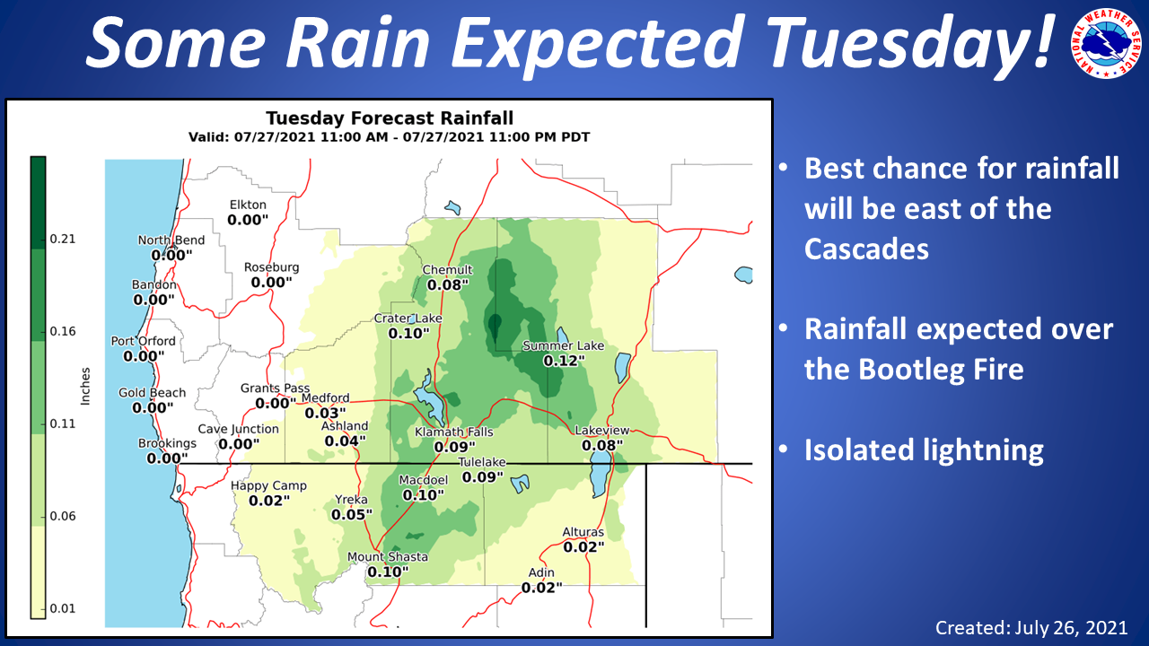
NWS INFORMATION GRAPHIC
That thunderstorm threat will extend from Medford all the way up to Pendleton today, with locations across the Wallowa mountain range too. That is the moisture moving in from monsoon season that is going to be the root cause of this surge of storms. We aren’t expecting anything severe in regards of thunderstorm strength, but we are concerned for dry thunderstorms that only provide gusty conditions and lightning. You can read more about dry thunderstorms in this article here.
