
PORTLAND, Ore. (KOIN) — Despite the record amount of snow that fell on the Portland area in February, Oregon received no immediate drought relief from the series of storms. According to the latest U.S. Drought Monitor data that’s released every Thursday, the state saw no change in drought conditions this week.
National Weather Service Hydrologist Andy Bryant and Oregon state climatologist Larry O’Neill both told KOIN 6 News that seasonal precipitation is well-below average for the region. In Oregon, roughly 70% of the state has received less than 75% of its average precipitation levels. As a result, much of the state remains in varying stages of drought.
“The recent snow had a lot of impact on day-to-day life in Portland and the surrounding area,” Bryant said. “However, the month of February was below average overall, and the amount of water in that one snow event was not that significant in terms of seasonal conditions.”
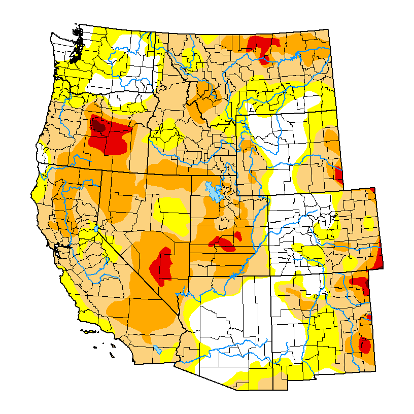
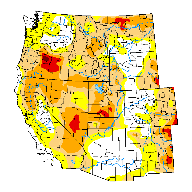
Conditions are less dire in Northwest Oregon, where precipitation levels are “abnormally dry,” but not severe enough to warrant an official drought designation. The long-term shortage of rain and snowfall is especially noticeable in eastern portions of the state, which Bryant said will need consecutive years of sustained rainfall to recover.
“For other parts of the state, especially central and southern Oregon, there has been a multi-year major deficit in precipitation,” he said. “Precipitation we’ve had this winter is helpful, but it will probably take a couple years of above-average precipitation to overcome the long-standing soil moisture deficits, low streamflow, and low reservoir storage.”
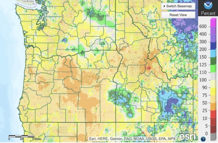
Despite the recent drought intensification, snowfall across the Pacific Northwest has developed healthy snowpacks around the state. Portland’s National Weather Service stated that snow-water equivalent values are “doing pretty well,” especially in South-Central and Southeast Oregon.

O’Neill said that snowpack is a key indicator for drought severity depiction and that having a good snowpack provides water storage that improves streams and reservoir levels during the spring and early summer. A healthy snowpack can also help delay fire season in elevations above 5,000 feet. However, with much of the mountain snow still frozen, the overall lack of rain is apparent in Oregon’s streams.
“Streamflows especially are very low for this time of year all across western Oregon, and in many cases, we are seeing some of the lowest streamflows on record for this time of year,” O’Neill said. “Currently, 70% of the USGS streamgages in Oregon are at least below average, and 35% are either at well-below average or at record lows for this date.”
The lack of resin is also creating worsening soil moisture levels in Oregon. Without a substantial amount of precipitation in the coming months, O’Neill said that the state is facing drought-stricken summer.
“The soil moisture is at or near record lows for this time of year across much of Oregon,” he said. “This is not promising news for agricultural and livestock production or for wildfire risk during the upcoming summer. Unless we have another record-breaking spring precipitation like last year, we are likely staring down drought conditions over much of the state this summer.”