
PORTLAND, Ore. (KOIN) – We have wrapped up a wet April and are kicking off a new month with some dry time. It won’t come with a lot of sunshine, but you should have some.
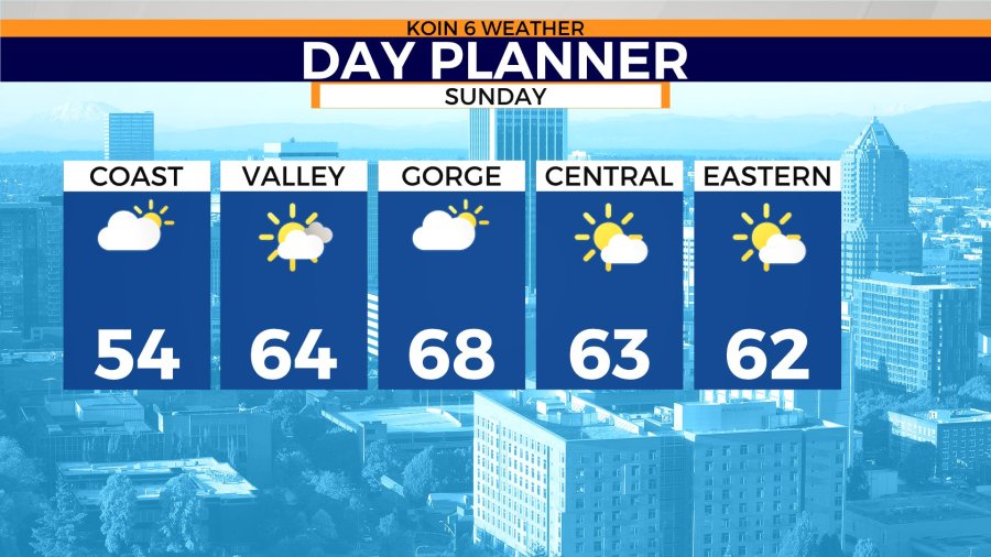
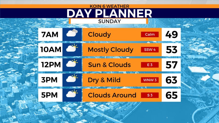
Sunday morning around Portland is going to be cloudy with some patchy fog. Temperatures to start the day in the upper 40s. We will warm up and top off in the lower to mid 60s by afternoon. That is typical for this time of the year. Do you need that rain jacket that is probably still drying off from yesterday? You will not need to grab that, unless you want to wear it for fashion.
Expect conditions to stay dry Sunday, outside of the damp ground. Notice in the zones day planner that we have sun and clouds across the board. Now would be a good time to swipe through the images below.
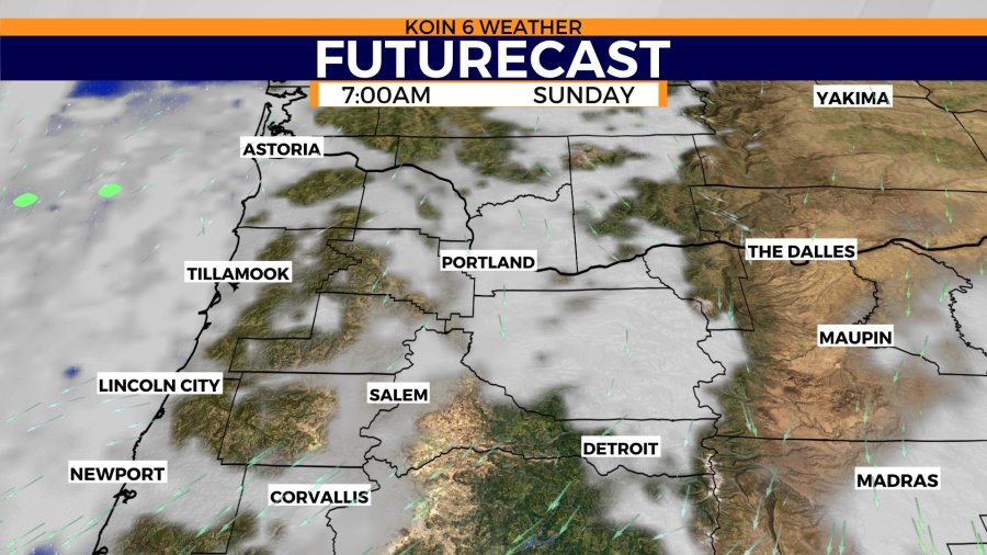
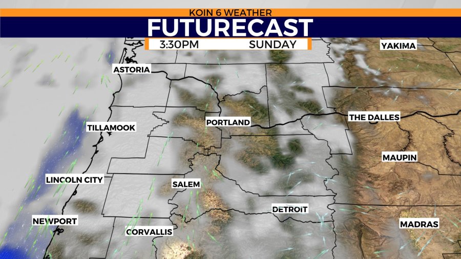
Both the Futurecast in the morning and afternoon are just depicting clouds. The rain is going to hold off as a short-term ridge of high pressure moves through the Pacific Northwest (PNW) on Sunday. We are going to be back and forth between dry weather and rainy weather for a few days.
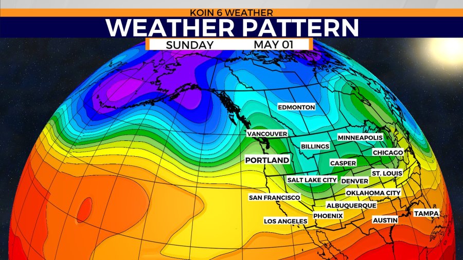
With mainly cool and showery weather for the month of April, it looks like the start of May will feel more like a seesaw. If you cycle to the weather pattern graphic, you will notice the wavy nature of the jet stream. This is going to be the reasoning for the inconsistent weather conditions for the next 5 days.
Sunday night will turn over to more clouds and eventually rain will move in from the coast to the valley. Central and eastern Oregon will have a much more relaxed day after a very stormy Saturday. After a blitz of lightning, you will now have a quiet day with sun.