PORTLAND, Ore. (KOIN) – When you see the word atmospheric river (AR), you know we have buckets of water coming our way. Before the steady rain arrives Monday night, we will have a slow start to the day in Portland.
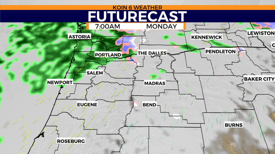
The morning will be more clouds than rain, especially to the south. Multnomah County will be right on the fringe of that first initial push of moisture.
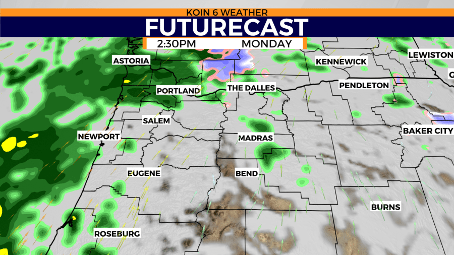
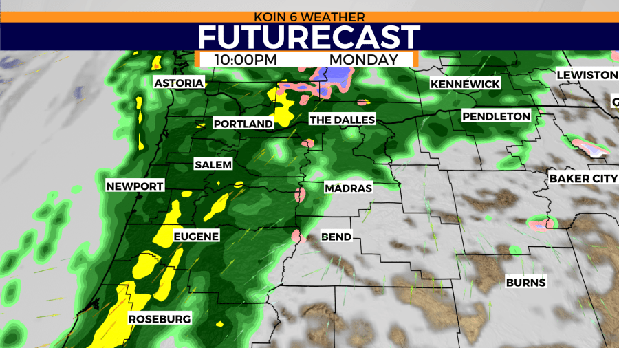
There is no doubt that the northwest Oregon coast will be wet in the morning. It will take some time for a front to move in, which is expected to drive across the valley late Monday. A window from around 5 p.m. to midnight will be real wet. This is when we will pick up most of the rain from the AR.
You will want to swipe through the graphics below to get an idea of where the rain vs dry line is.
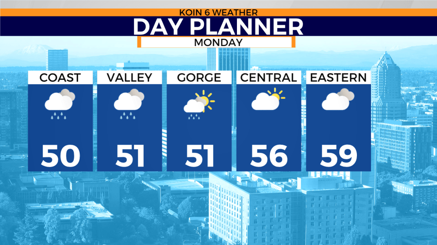
Temperatures will not be all that warm with this event, because it is a weak atmospheric river. The timing of the event will be shorter in duration, and the transport of moisture is not as deep. Expect temperatures in the mid to upper 40s Monday morning, warming up to the lower to mid-50s by afternoon.
The day planner shows a chance for showers all day, but they won’t be consistent until late. The precipitable water shows that stretch of moisture all the way down south to skies just north of Hawaii. This event will be mainly beneficial and not disruptive.
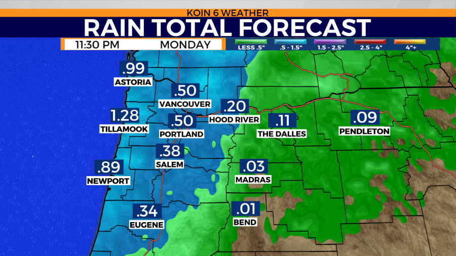
Weather models are projecting a half-inch of rain from midnight to midnight on Monday. That doesn’t sound like an atmospheric river, but it will carry plenty of moisture. The timing of the rain may actually lean to Tuesday, splitting up the rain total for the day. Between Monday and Tuesday, we will have a half-inch to an inch of rain in the valley. Again, not a strong AR like we have had earlier in the year, but a weak AR that will not carry the intensity or duration as those before.
Moisture will impact central and eastern Oregon later in the day. The day planner is set for 5 p.m. on Monday, which shows dry time for Madras and Pendleton. Temperatures warming to the mid to upper 50s for you folks.


