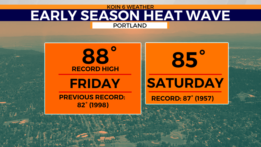
PORTLAND, Ore. (KOIN) — We were just a few degrees short from breaking another record Saturday as we reached 85 for our daytime high in Portland. The record high for April 29 is 87 degrees, set back in 1957.
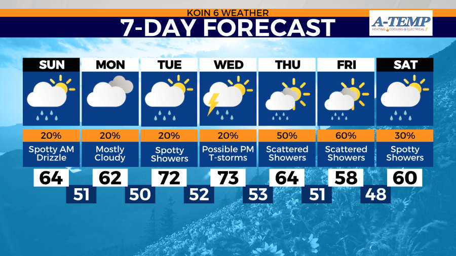
But…it’s going to start to feel like late spring once again starting Sunday.
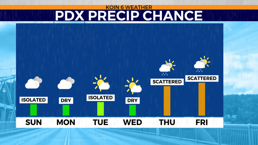
We’ll bring back the chance for spotty showers and temperatures will drop back into the mid-60s on Sunday and Monday. So, as we get back to normal temps for this time of year, the PNW will be 20-30 degrees below what we saw Friday.
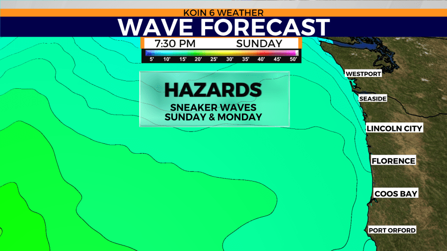
Out on the coast, be advised that we could see possible sneaker waves Sunday and Monday.
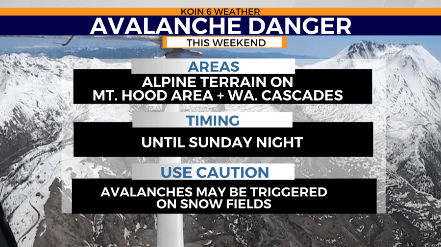
Also, a ‘Special Avalanche Bulletin’ has been issued by the National Weather Service for the Olympic Mountains, Washington Cascades and the Mt Hood area. This bulletin is for elevated avalanche danger and will run through 6 p.m. Sunday.
Our daytime highs will climb back into the 70s as we head into Tuesday and Wednesday.

