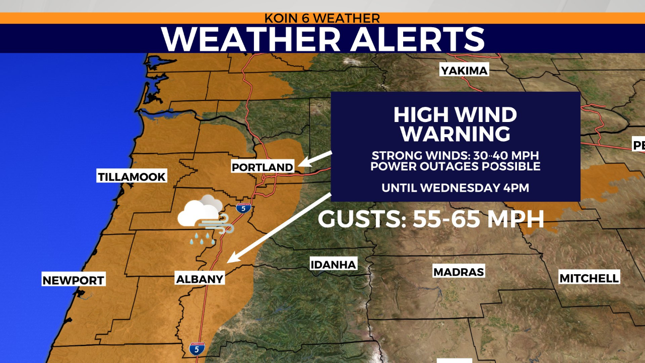
PORTLAND, Ore. (KOIN) — Damaging 50 to 65-mph gusts are forecast to rip through Portland and monstrous 30 to 40-foot breaker waves could potentially slam Northwest Oregon’s coastline Tuesday as nasty winter weather continues to impact the Pacific Northwest.
A high-wind advisory and coastal flood warning have been issued for Northwest Oregon in response to the region’s latest round of powerful winter weather. The wind advisory will remain in effect until 4 p.m. Tuesday. Coastal flooding will be possible until Wednesday at 6 a.m. Tillamook County’s Emergency Management office stated that the highest waves are expected to occur during the daytime hours on Tuesday.
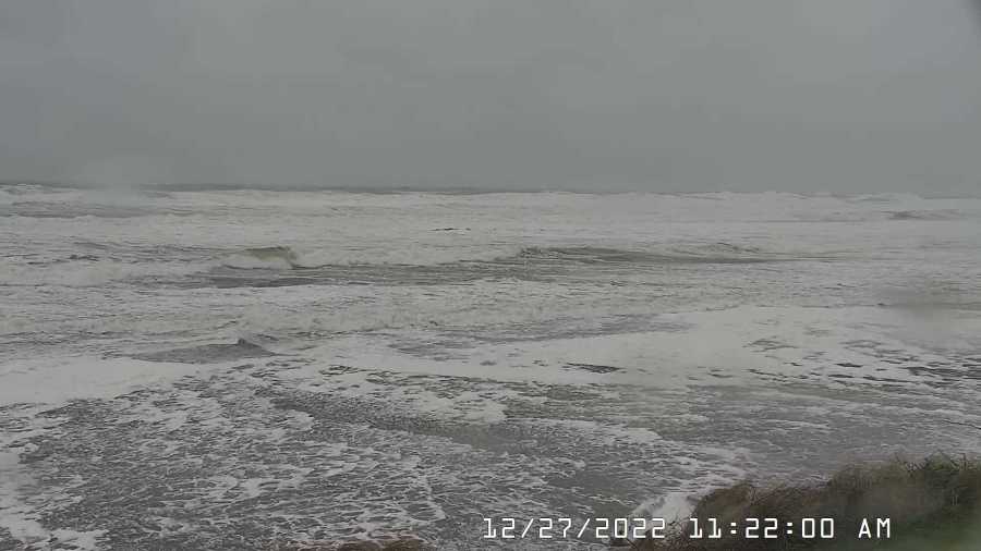
“Major flooding up to one foot above ground level during high tides is expected along the immediate coast as well as low-lying areas near bays, sloughs, and the lower reaches of the coastal rivers,” Tillamook County’s Emergency Management office said. “Destructive waves may wash over beaches, jetties, and other structures unexpectedly. People can be swept off rocks and jetties and drown while observing high surf. Severe beach erosion may destroy coastal properties and buildings. Higher than normal water run-up is expected on beaches and low-lying shorelines.”
KOIN 6 Meteorologist Kelley Bayern reports that the Portland area saw a record amount of rainfall on Monday, with 2 inches recorded at the Portland International Airport. Rainy weather is forecast across the region for the remainder of the workweek.
“Heavy showers continue today, where we could pick up another 1 to 1.5 inches,” Bayern said. “Since midnight, Portland has already picked up approximately 0.6 inches. Heavy rain is causing ponding water on roads plus minor urban flooding of creeks and streets possible today.”
The region’s strong winds are expected to become less harsh by this afternoon. However, winds should remain breezy into the night with gusts of about 35 mph. Local rainfall will taper tonight. Scattered showers are likely on Wednesday.
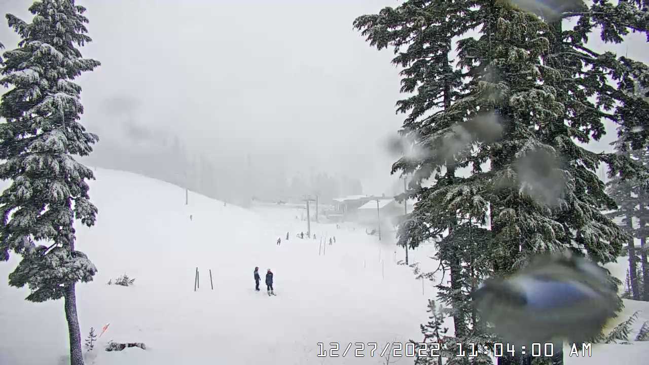
One to three feet of mountain snow is possible this week as temperatures will drop back into the mid to low 30s on Mount Hood. Travel through mountain passes will be affected at elevations around 4,000 feet. A winter weather advisory has been issued until 10 a.m. Wednesday.