PORTLAND, Ore. (KOIN) — The prolonged wet and cold winter seen in Portland is expected to come to an end by next week.
Some weather models have already started to tease the chance of the low to mid 70s returning to the Rose City by Wednesday, April 26. Yes, this forecast is subject to change, but at least there is a chance that more seasonal-like conditions are finally starting to return.
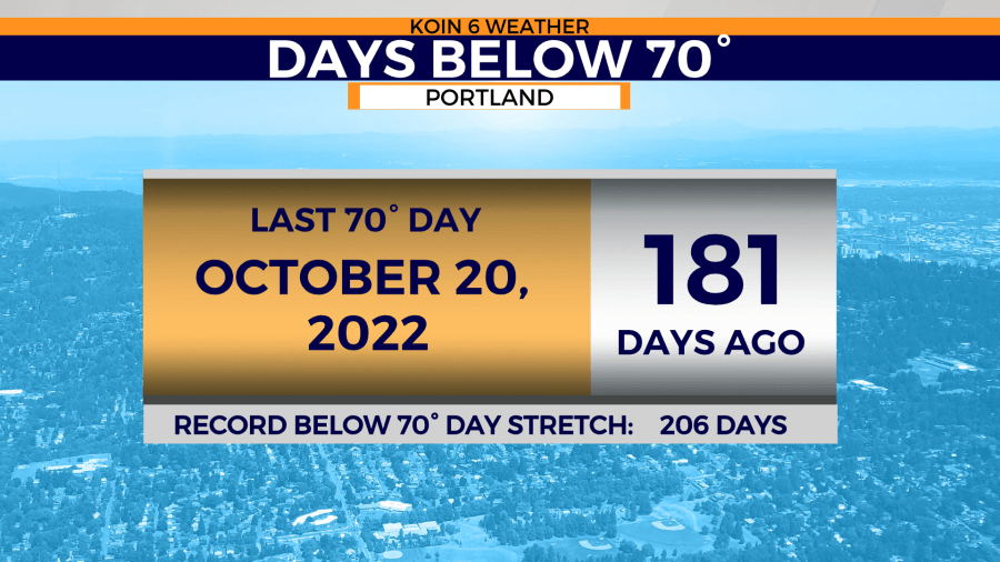
Portland last enjoyed the warmth that 70 degrees bring to one’s mood over 180 days ago. That’s exactly half a year since the Willamette Valley saw the mild high of the low 70s.
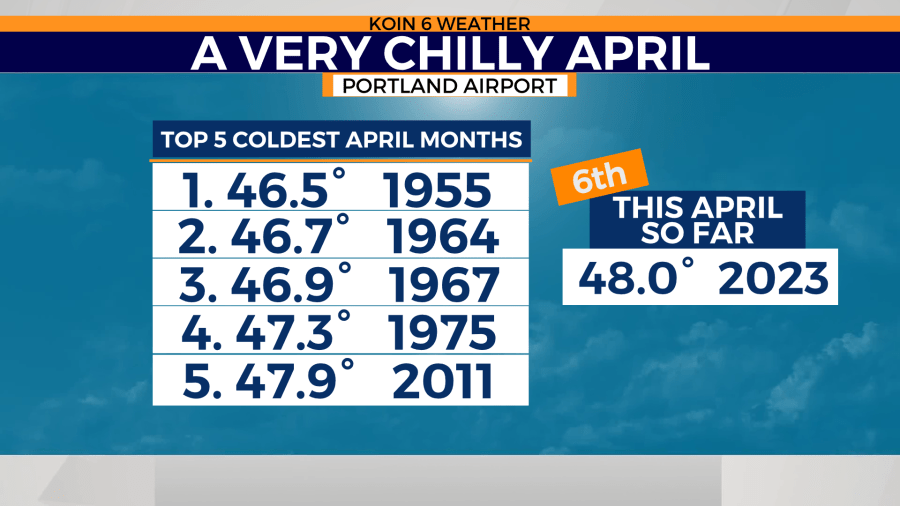
April 2023 currently stands as the sixth coldest April on record in Portland. The average temperature sits at 48 degrees. The coldest April on record was in 1955 when the average temperature was only 46.5 degrees.
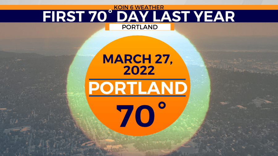
Compared to last year, Portland saw its first 70-degree day as early as March 27, 2022.
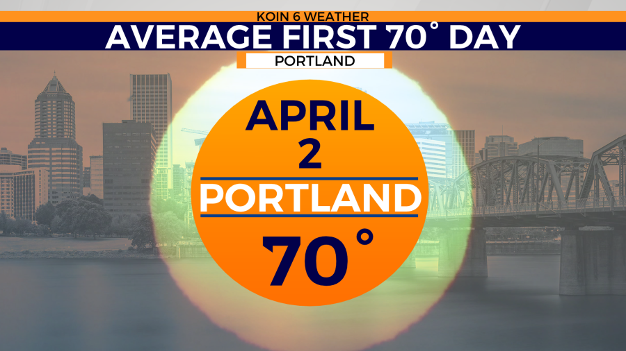
Normally, Portland should experience its first 70-degree day around April 2. Bridge City now sits 18 days past that normal as afternoon temperatures sit nearly 10 to 15 degrees below normal.
These colder-than-normal, and wetter-than-normal conditions are starting to impact new growth across the region.
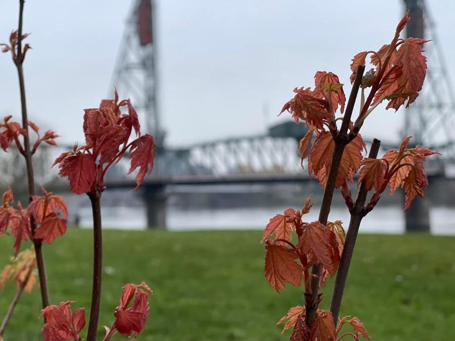
Trees are struggling to bud in fear of damage from the cold. It’s nearly May and very few trees and shrubs have started to bloom or bud.
A ridge of high pressure is starting to build in many forecast models. A ridge of high pressure will drive temperatures closer to the low to mid 70s by the middle of the week.
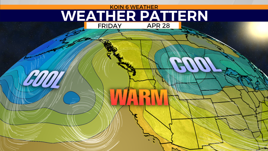
Some long-range temperature models are putting Portland close to 75 by Thursday, April 27. That would make this upcoming week the warmest weather seen so far this year in western Oregon and Washington.
These numbers and models will continue to fluctuate over the next week, but there is hope that the prolonged winter season might be nearing its end.