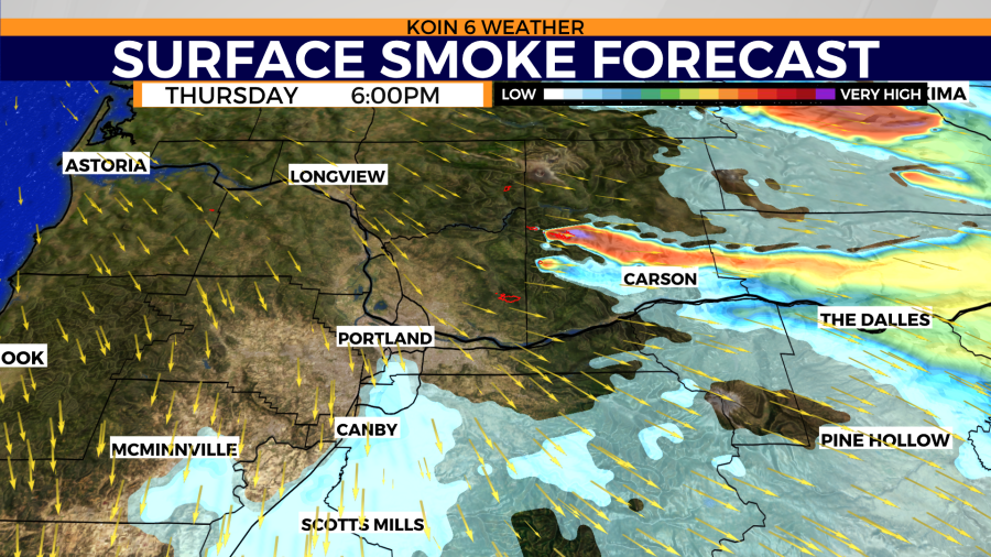
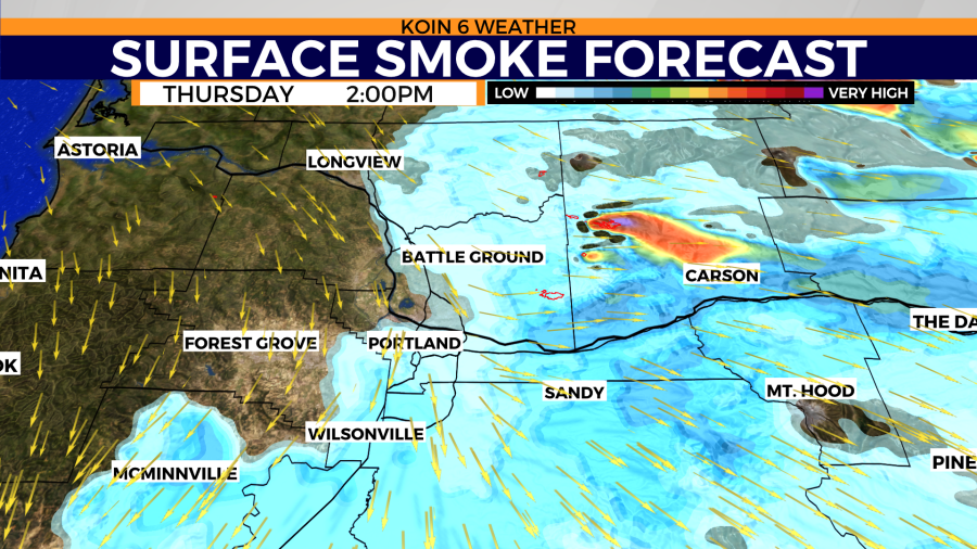
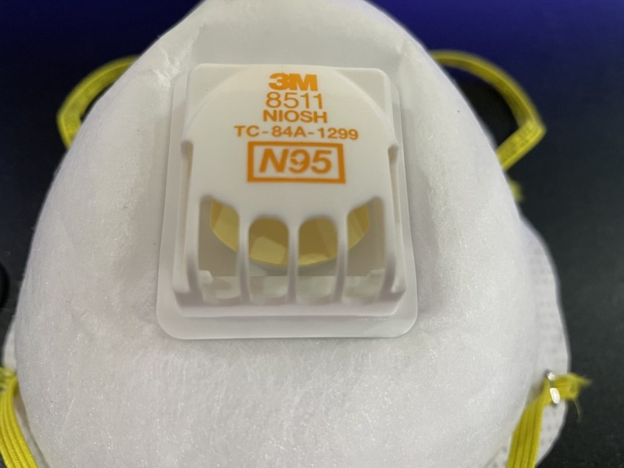
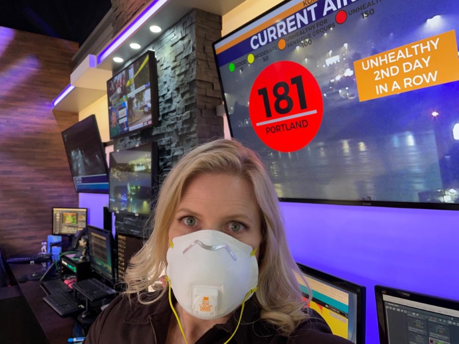
PORTLAND, Ore. (KOIN) — This is Portland’s third morning in a row sitting in the “unhealthy” air quality category. It’s a nasty combination of an inversion with fog that is inundated with wildfire particulate matter. Air quality won’t improve until Thursday afternoon or evening.
THURSDAY: Fog and smoke will be our poison soup. The Interstate 5 pileup in Linn County could easily happen here too. Visibility will be limited to less than one-quarter in some spots.
Onshore flow increases later in the afternoon which will kick out the smoke. By Thursday night air quality should be close to good.
FRIDAY: Looking for that rain to start Friday midday. Heaviest rain over burns scars in Southwest Washington expected Friday night and into early Saturday morning. You’ll start seeing more talk about debris flows.
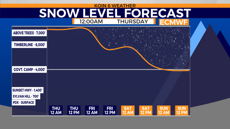
SNOW: I do not anticipate snow sticking to Highway 26 going over Mount Hood. However, the Willamette Pass and the Santiam Pass could collect snow. The snow level could be as low as 4,000 feet, so any side roads off of Highway 26, for instance, the road to Timberline could have snow this weekend.
Swipe through the graphics below for a look at the weather.
