PORTLAND, Ore. (KOIN) — Oregonians are bracing for a winter storm after the National Weather Service issued multiple weather alerts for the Portland metro area.
Here’s a breakdown of what you can expect and when Thursday:
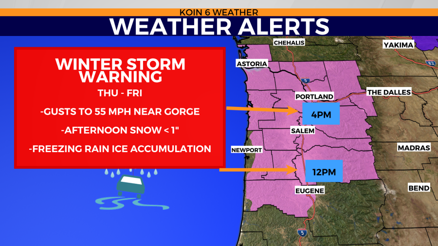
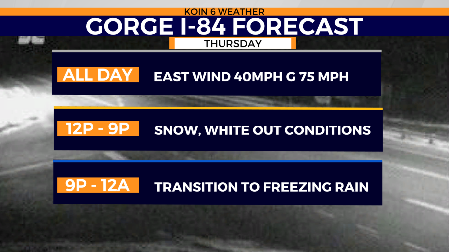
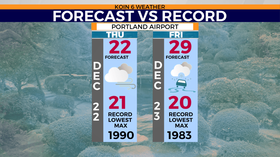
The morning started off dry but with a dangerous wind chill. Portland began the day with temperatures in the low 20s to teens with a wind chill near zero. The eastern wind was predicted to reach speeds of 40 to 55 mph.
A Wind Chill Advisory was issued from 3:30 a.m. Thursday until 6 a.m. Friday, a Wind Advisory was issued until 7 a.m. Friday. and a Winter Storm Warning has been issued from 4 p.m. Thursday to 10 p.m. Friday.
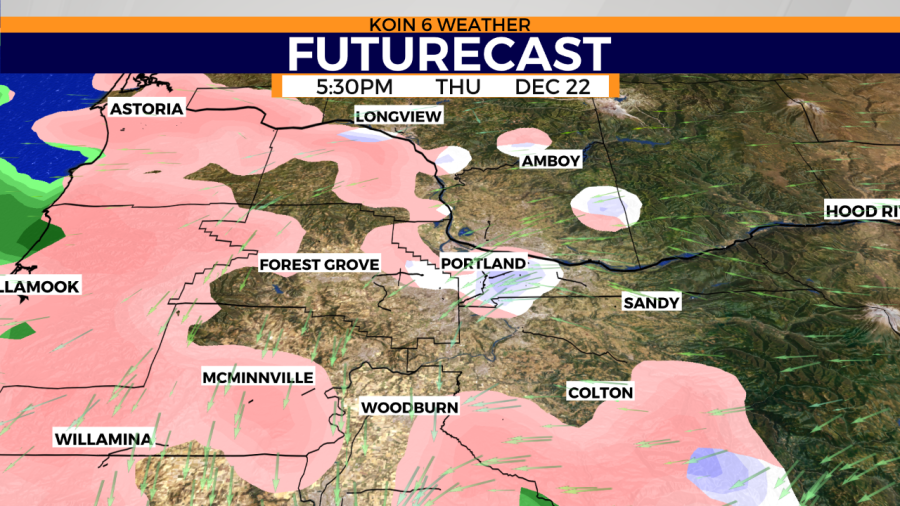
Snow was expected to arrive any time after noon on Thursday, with additional moisture coming from the southwest by 4 to 6 p.m. However, the National Weather Service told KOIN 6 News that a ring of cold, dry air blowing in from the east has created a lasting forcefield of dryness around the Portland metro area as snowfall circled the region in the afternoon hours.
While Portland stayed dry a bit longer than originally expected, that ring of precipitation is gradually expected to close in on itself as the localized, lower-elevation air becomes moister and moister.
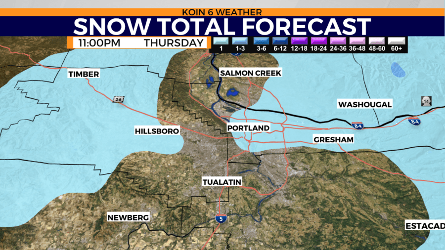
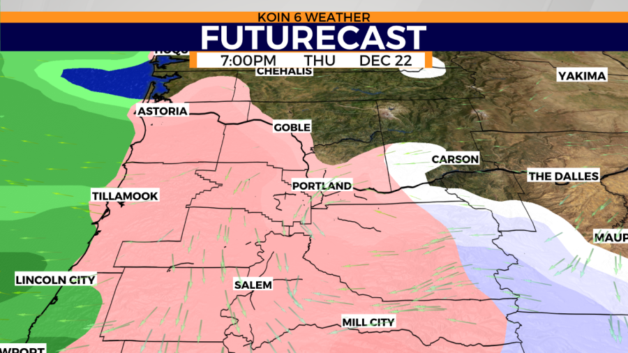
This means that the Portland area will likely see a light dusting of snowfall this evening before heavier amounts of precipitation begin to break through tonight. The metro area began seeing freezing rain shortly before 6 p.m., which is expected to continue through the night.
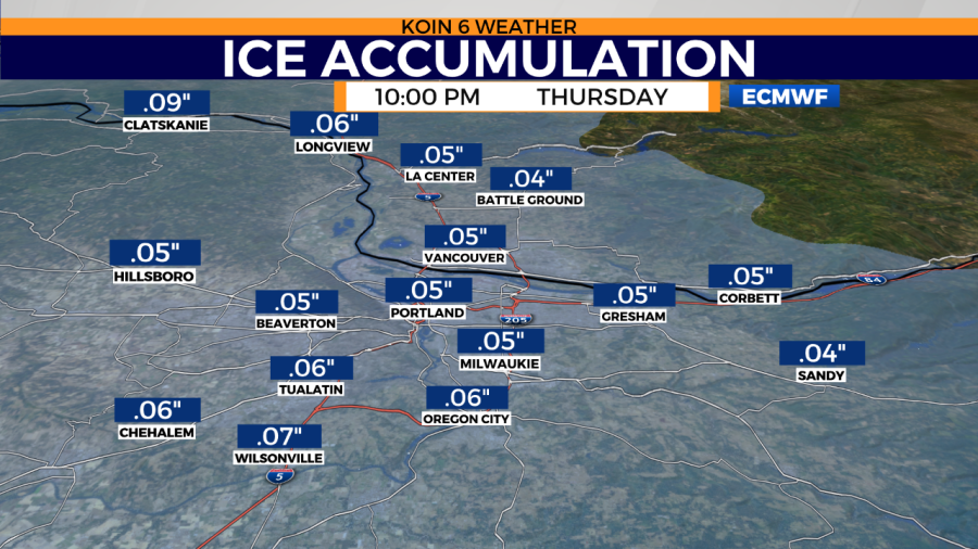
Due to that freezing rain in Portland, we could have a glaze or more ice on the road by late night, with about 0.05-0.1 inches expected. That first ice accumulation could happen between 10 p.m.-12 a.m.
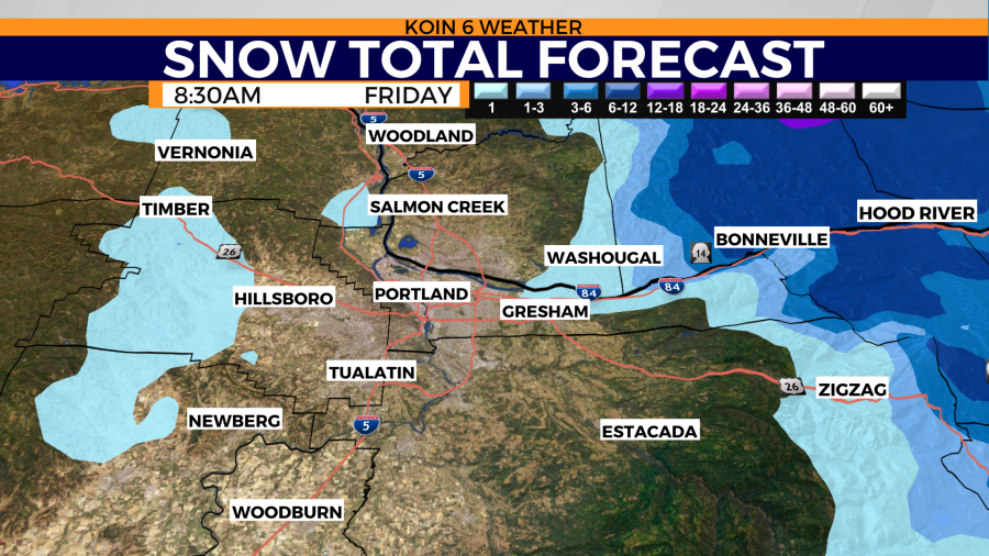
The north end of the Willamette Valley, West Hills, PDX and Southwest Washington may be able to accumulate a quarter-inch of snow, with higher totals towards the west side of the Gorge. In the Gorge towards Hood River, snow totals could range from 1 to 3 inches.
Swipe through the graphics below for more.
