PORTLAND, Ore. (KOIN) – In our previous lesson, we discussed the process of our water cycle. We now have a general idea of how water goes from the ocean, to the clouds, to the ground and back around.
Now we can explore the idea of topography and its relationship with weather.

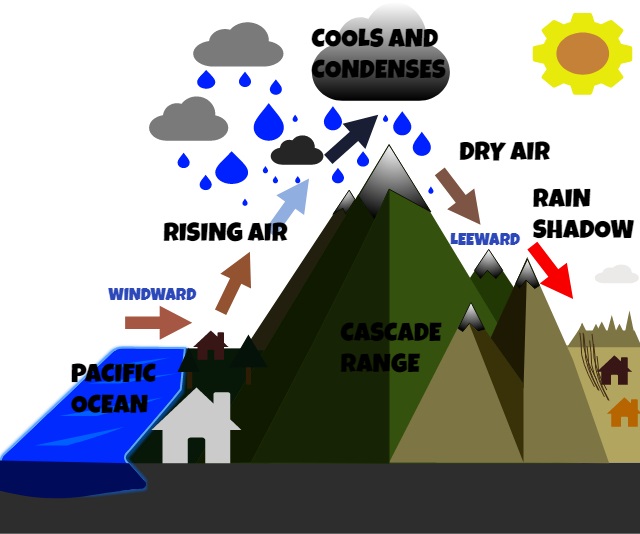
In this particular lesson, we will focus on how mountains (The Cascade Range) impact our weather. We will use a diagram of what is happening around those mountains and what follows on the other side of those mountains to help show the sequence of events. Subsequently, we will also touch on the topic of Orographic lift and precipitation. We will learn the difference between the terms Windward and Leeward too.
Let’s begin by discussing some of the terms that are in that image, so we have a better understanding of what the diagram is saying.
Now is the time to study the image!
Windward – you can think of this as the side of the object that is facing the wind (try to think of an example of this).
Leeward – this would be the side of the object that is sheltered or away from the wind.
Orographic Lift – Ascending or lifting air caused by rising terrain, such as the mountains.
Rain Shadow – The region on the lee-side of a mountain. This is where the precipitation is far less than on the windward side. Typically a dry climate.


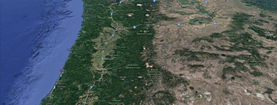
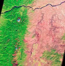
The photo above is a snip of Oregon from the Pacific Ocean to nearly the border of Oregon and Idaho. You can see the difference between the vegetation from a green lush surface to a brown and more arid surface east of the mountains. If you’ve traveled through the state with your family, you’ve probably noticed the change in scenery in just a few hours of driving.
This is because of the topography that you studied in the image above. Most of the time the warm moist air coming from the Pacific Ocean will reach a few barriers and the process of orographic lift will occur. This will essentially wring out the moisture over those locations and drier air will be the outcome on the leeward side of the terrain. That is why it is way more green and moist west of the Cascade mountains. All of that moisture is falling on the windward side of the mountains and dry elements prevail on the east side!
VISUAL EXERCISE – IMAGINE THIS:
You are running around the park and come to a massive hill. You feel pretty good because you have some energy to use. Now, you work really hard running up that hill and you use most of your energy. You’re almost exhausted up there because you had to work hard to get to the top.
Now you don’t have much energy on the other side and have to jog down the rest of the hill. Not only are you sluggish, but you may be a bit hot and winded. Now you approach an even larger hill!
You now spend the rest of your energy getting to the very top. You’re completely tired on the other side and have nothing left in the tank. That is a way to imagine our rain systems as they move across the state of Oregon because of the mountains.
