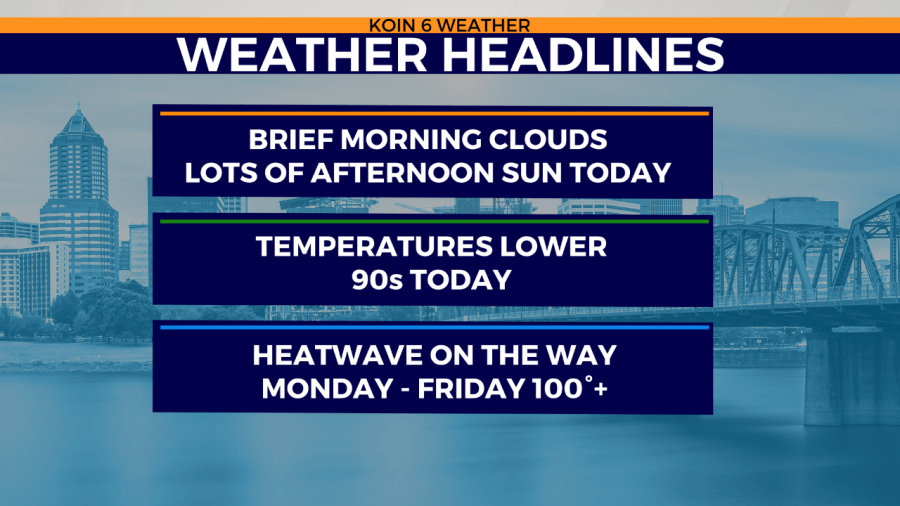
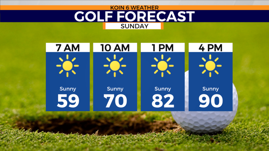
PORTLAND, Ore. (KOIN) — Some of you in the valley are waking up to a few Sunday morning clouds, but these areas are expected to burn off by about 9 a.m. Then, the heat returns this afternoon.
Expect lots of sunshine Sunday with high temperatures topping out in the low 90s across the Portland metro area, the Gorge and central/east side of the state. Temperatures along the coast will remain in the 60s and low 70s on Sunday.
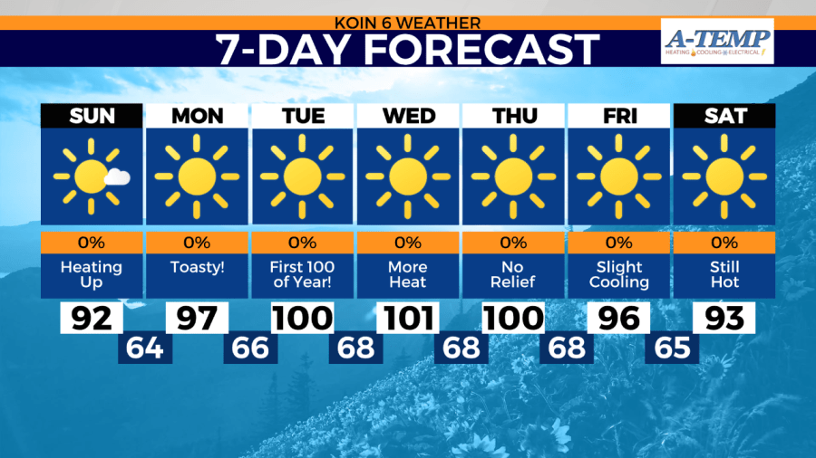
However, this will be the first in what will likely end up being at least 6 days well into the 90s across the metro, with some lower 100s also expected as the biggest heatwave since last summer’s record-breaking heatwave.

An excessive heat “watch” (likely to be upgraded to an excessive heat “warning” by later Sunday) takes effect at noon Monday and lasts through Friday.
However, at this point nothing is indicating this will be anything like last summer’s heat dome when temperatures hit 108, 112 and 116 in Portland. This will likely end up as on our regular run-of-the-mill summer heatwaves.
Either way, please plan to check on the elderly, pets and stay hydrated. If you are looking for relief for this week’s heat, head for the coast where temperatures will be much more tolerable.


